
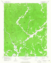
1956 Map of Collettsville
USGS Topo · Published 1958About this map
Collettsville sits at the confluence of the Johns River and Mulberry Creek in this mid-century survey of western Caldwell County. The landscape is defined by the sharp transition from the valley floor to the high ridges of the Pisgah National Forest, where features like Sand Mtn Lookout Tower and High Knob overlook the narrow hollows. The map records a rural network of community landmarks, particularly the numerous country churches such as Green Valley Ch, Mulvale Ch, and Fleming Chapel.
Find a feature on this map
67 named features on this map. Tap any name to fly to it.
Don’t see what you’re looking for? This feature index may not catch every label — zoom into the map to look around manually.
Map Details
Editions of this 1956 Collettsville Map
Other maps of this area

1893 · Cranberry
USGS Topo · 1:125,000

1895 · Cranberry
USGS Topo · 1:125,000

1899 · Cranberry
USGS Topo · 1:125,000

1902 · Cranberry
USGS Topo · 1:125,000

1905 · Morganton
USGS Topo · 1:125,000

1936 · Blowing Rock
USGS Topo · 1:48,000

1942 · Blowing Rock
USGS Topo · 1:62,500

1944 · Linville
USGS Topo · 1:62,500

1953 · Charlotte
USGS Topo · 1:250,000

1953 · Winston-Salem
USGS Topo · 1:250,000