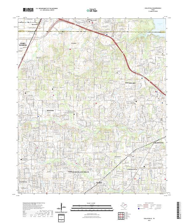
2022 Map of Colleyville
USGS Topo · Published 2022About this map
The suburban landscape of Northeast Tarrant County is captured here in 2022, showcasing the dense residential development across Colleyville, Keller, and Southlake. Despite the rapid modernization, the map preserves the location of many foundational community sites, including the Lonesome Dove Cem and Mount Gilead Cem. The terrain is defined by the drainage of Big Bear Cr and Little Bear Cr, which flow toward the eastern edge of the quadrangle near Grapevine Lake.
Find a feature on this map
164 named features on this map. Tap any name to fly to it.
Don’t see what you’re looking for? This feature index may not catch every label — zoom into the map to look around manually.
Map Details
Editions of this 2022 Colleyville Map
This is the sole edition of this map. No revisions or reprints were ever made.
Other maps of this area

1894 · Fort Worth
USGS Topo · 1:125,000

1931 · Grapevine
USGS Topo · 1:62,500

1954 · Dallas
USGS Topo · 1:250,000

1954 · Sherman
USGS Topo · 1:250,000

1955 · Haltom City
USGS Topo · 1:24,000

1955 · Keller
USGS Topo · 1:24,000

1955 · Haltom City
USGS Topo · 1:62,500

1958 · Dallas
USGS Topo · 1:250,000

1958 · Sherman
USGS Topo · 1:250,000

1959 · Euless
USGS Topo · 1:24,000