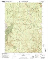
1998 Map of Collier Butte
USGS Topo · Published 2001About this map
Siskiyou National Forest dominates this section of Curry County, where the high-altitude terrain of the Southern Oregon coast range is defined by the Chetco River and the Pistol River. The landscape is a network of named peaks and meadows, including Snow Camp Mountain and Fairview Mountain, which overlook the headwaters of numerous creeks. A distinct history of resource exploration is evident through the numerous Prospects and Prospect markings near Collier Butte and the Kalmiopsis Wilderness boundary.
Find a feature on this map
40 named features on this map. Tap any name to fly to it.
Don’t see what you’re looking for? This feature index may not catch every label — zoom into the map to look around manually.
Map Details
Editions of this 1998 Collier Butte Map
This is the sole edition of this map. No revisions or reprints were ever made.
Other maps of this area

1954 · Coos Bay
USGS Topo · 1:250,000

1954 · Cape Ferrelo
USGS Topo · 1:62,500

1954 · Gold Beach
USGS Topo · 1:62,500

1954 · Collier Butte
USGS Topo · 1:62,500

1954 · Mt. Emily
USGS Topo · 1:62,500

1958 · Coos Bay
USGS Topo · 1:250,000

1962 · Coos Bay
USGS Topo · 1:250,000
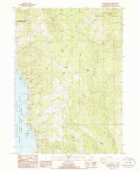
1986 · Carpenterville
USGS Topo · 1:24,000
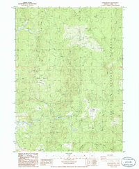
1986 · Sundown Mtn
USGS Topo · 1:24,000
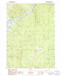
1986 · Signal Buttes
USGS Topo · 1:24,000