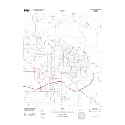
2013 Map of Collierville
USGS Topo · Published 2013About this map
The Wolf River meanders through this portion of Shelby County, defining a landscape shaped by both waterway ecology and suburban development near Bailey. Modern infrastructure, including the Burkeen Field Airport and several engineered water bodies like James Lake and Lake Site Number Eleven, reflects the intensive land management of the early 21st century. The map shows a transition from structured residential areas and recreation sites like the Ridgeway Country Club Lake to large-scale agricultural holdings such as Highgrove Farms and Shady Creek Farm. Moving east toward Piperton, the terrain is drained by tributaries like Johnsons Cr and Shaws Cr, while the southern corridor is dominated by the Nonconnah Cr basin. This survey documents the area's intricate road network, from historic routes like Raleigh Lagrange Rd to the expansion of Wolf River Blvd, illustrating the growth pattern around the fringes of Collierville.
Find a feature on this map
291 named features on this map. Tap any name to fly to it.
Don’t see what you’re looking for? This feature index may not catch every label — zoom into the map to look around manually.
Map Details
Editions of this 2013 Collierville Map
This is the sole edition of this map. No revisions or reprints were ever made.
Other maps of this area

1943 · Collierville
USGS Topo · 1:62,500

1944 · Hernando
USGS Topo · 1:62,500

1948 · Byhalia
USGS Topo · 1:62,500

1953 · Collierville
USGS Topo · 1:50,000

1956 · Blytheville
USGS Topo · 1:250,000

1956 · Tupelo
USGS Topo · 1:250,000

1958 · Tupelo
USGS Topo · 1:250,000

1959 · Blytheville
USGS Topo · 1:250,000

1960 · Bartlett
USGS Topo · 1:62,500

1961 · Bartlett
USGS Topo · 1:62,500