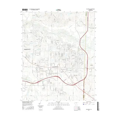
2016 Map of Collierville
USGS Topo · Published 2016About this map
Collierville and the eastern edge of Germantown dominate this modern survey of the suburban landscape east of Memphis. The map reveals a dense network of residential development and commercial corridors, notably along Poplar Ave and Winchester Rd, yet it preserves the locations of numerous early community landmarks. Significant burial grounds including Magnolia Cem, Abington Cem, and Saint Marks Cem are carefully noted, providing vital reference points for local genealogists. The Wolf River and its associated wetlands, such as Glynnwood Lake and James Lake, form a natural boundary to the north, while the Shelby Co Fayette Co line marks the transition toward Piperton. Local aviation and recreation are represented by Burkeen Field and the Houston-Levee Golf Course Lake, illustrating the varied land use of this maturing corridor.
Find a feature on this map
223 named features on this map. Tap any name to fly to it.
Don’t see what you’re looking for? This feature index may not catch every label — zoom into the map to look around manually.
Map Details
Editions of this 2016 Collierville Map
This is the sole edition of this map. No revisions or reprints were ever made.
Other maps of this area

1943 · Collierville
USGS Topo · 1:62,500

1944 · Hernando
USGS Topo · 1:62,500

1948 · Byhalia
USGS Topo · 1:62,500

1953 · Collierville
USGS Topo · 1:50,000

1956 · Blytheville
USGS Topo · 1:250,000

1956 · Tupelo
USGS Topo · 1:250,000

1958 · Tupelo
USGS Topo · 1:250,000

1959 · Blytheville
USGS Topo · 1:250,000

1960 · Bartlett
USGS Topo · 1:62,500

1961 · Bartlett
USGS Topo · 1:62,500