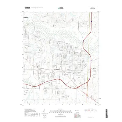
2019 Map of Collierville
USGS Topo · Published 2019About this map
The Collierville landscape at the eastern edge of Shelby County is defined by the winding course of the Wolf River and its expansive wetlands. This modern survey shows a region where established suburbs like Germantown and newer developments have integrated into a terrain historically dominated by drainage basins like Nonconnah Creek and Grays Cr. Local history is anchored by numerous burial grounds including Magnolia Cem, Abington Cem, and the Saint James and Saint Mark cemeteries, which offer valuable points of reference for genealogists tracing family ties in the area.
Find a feature on this map
234 named features on this map. Tap any name to fly to it.
Don’t see what you’re looking for? This feature index may not catch every label — zoom into the map to look around manually.
Map Details
Editions of this 2019 Collierville Map
This is the sole edition of this map. No revisions or reprints were ever made.
Other maps of this area

1943 · Collierville
USGS Topo · 1:62,500

1944 · Hernando
USGS Topo · 1:62,500

1948 · Byhalia
USGS Topo · 1:62,500

1953 · Collierville
USGS Topo · 1:50,000

1956 · Blytheville
USGS Topo · 1:250,000

1956 · Tupelo
USGS Topo · 1:250,000

1958 · Tupelo
USGS Topo · 1:250,000

1959 · Blytheville
USGS Topo · 1:250,000

1960 · Bartlett
USGS Topo · 1:62,500

1961 · Bartlett
USGS Topo · 1:62,500