
1965 Map of Collins Creek
USGS Topo · Published 1967About this map
Matthews Ranch sits at the heart of this mid-1960s landscape, illustrating the enduring ranching tradition along the Throckmorton and Shackelford County line. The terrain is deeply carved by a network of waterways, including Collins Creek, Lambshead Creek, and Walnut Creek, which dictate the local topography and land use. This survey captures a moment when the petroleum industry was actively integrated into the rural economy, evidenced by numerous Oil Well and Gas Well sites scattered across the hillsides. A private Landing Strip and various improved and unimproved roads provide the only modern connectivity through this remote stretch of Texas, where the economy was a blend of cattle, oil, and small-scale resource extraction like the Gravel Pit near the creek beds. The drainage patterns of Mill Creek and Reynolds Branch further define the intricate system of draws and ridges that characterize this part of the Rolling Plains.
Find a feature on this map
14 named features on this map. Tap any name to fly to it.
Don’t see what you’re looking for? This feature index may not catch every label — zoom into the map to look around manually.
Map Details
Editions of this 1965 Collins Creek Map
This is the sole edition of this map. No revisions or reprints were ever made.
Other maps of this area

1892 · Albany
USGS Topo · 1:125,000

1893 · Albany
USGS Topo · 1:125,000

1954 · Abilene
USGS Topo · 1:250,000

1954 · Wichita Falls
USGS Topo · 1:250,000

1958 · Wichita Falls
USGS Topo · 1:250,000

1958 · Abilene
USGS Topo · 1:250,000
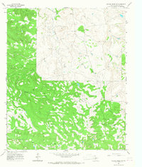
1965 · Collins Creek SW
USGS Topo · 1:24,000
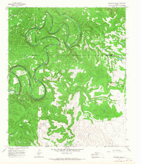
1965 · Antelope Hills
USGS Topo · 1:24,000

1965 · Fort Griffin
USGS Topo · 1:24,000
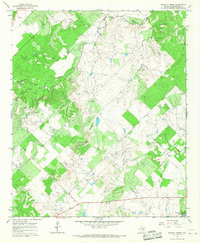
1965 · Murphy Creek
USGS Topo · 1:24,000