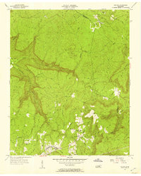
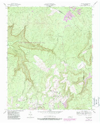
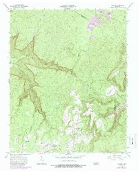
1956 Map of Collins
USGS Topo · Published 1957About this map
Barkertown and Tatesville anchor the southern valleys of this mid-1950s survey, where the Cumberland Plateau begins its dramatic descent. The landscape is defined by the deep carving of Savage Creek and the Collins River, which together reveal the complex drainage patterns of the Grundy and Sequatchie County line. Small mountain communities are centered around institutions like Browns Chapel, Coffeeville Ch, and the Fairview Sch, reflecting a rural social structure tied to the terrain.
Find a feature on this map
29 named features on this map. Tap any name to fly to it.
Don’t see what you’re looking for? This feature index may not catch every label — zoom into the map to look around manually.
Map Details
Editions of this 1956 Collins Map
6 editions found
Other maps of this area

1888 · Chattanooga
USGS Topo · 1:125,000

1892 · Pikeville
USGS Topo · 1:125,000

1893 · Mc Minnville
USGS Topo · 1:125,000

1893 · Chattanooga
USGS Topo · 1:125,000

1895 · Mc Minnville
USGS Topo · 1:125,000

1895 · Sewanee
USGS Topo · 1:125,000

1895 · Pikeville
USGS Topo · 1:125,000

1935 · Smart Mountain
USGS Topo · 1:24,000

1936 · Palmer
USGS Topo · 1:24,000

1936 · Daus
USGS Topo · 1:24,000