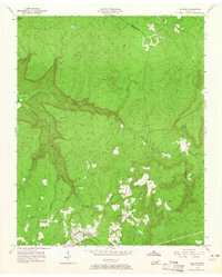
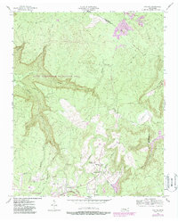
1956 Map of Collins
USGS Topo · Published 1965About this map
The Collins River and its many tributaries, including Savage Creek and Fall Creek, carve a complex network of gorges through this portion of the Cumberland Plateau. In the mid-1950s, this landscape preserved the early transportation routes that preceded modern highways, specifically the Mc Minnville Stage Road and Chattanooga Stage Road. These historic paths are joined by the Nashville Chattanooga and St Louis railway corridor, illustrating the progression of travel through the rugged Tennessee terrain.
Find a feature on this map
26 named features on this map. Tap any name to fly to it.
Don’t see what you’re looking for? This feature index may not catch every label — zoom into the map to look around manually.
Map Details
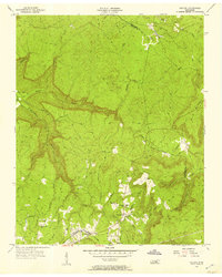
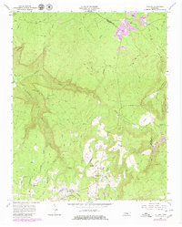
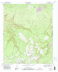
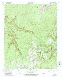
Editions of this 1956 Collins Map
6 editions found
Other maps of this area

1888 · Chattanooga
USGS Topo · 1:125,000

1892 · Pikeville
USGS Topo · 1:125,000

1893 · Mc Minnville
USGS Topo · 1:125,000

1893 · Chattanooga
USGS Topo · 1:125,000

1895 · Mc Minnville
USGS Topo · 1:125,000

1895 · Sewanee
USGS Topo · 1:125,000

1895 · Pikeville
USGS Topo · 1:125,000

1935 · Smart Mountain
USGS Topo · 1:24,000

1936 · Palmer
USGS Topo · 1:24,000

1936 · Daus
USGS Topo · 1:24,000