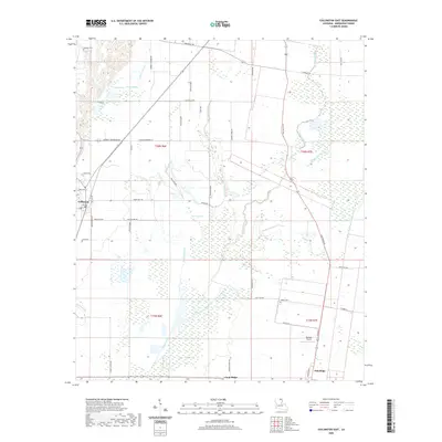
2020 Map of Collinston East
USGS Topo · Published 2020About this map
Collinston sits on the western edge of this Morehouse Parish landscape, where the alluvial plains of northern Louisiana are defined by an intricate network of slow-moving waterways and wetland features. The terrain is a complex drainage basin featuring Patten Slough, Bayou Galion, and the winding Little Bayou Bonne Idee. Low-lying areas like Cleora Brake and Grassy Lake reflect the hydrological character of the region, while the named elevation of Gum Ridge and the Gum Ridge settlement provide subtle relief in the southeastern portion of the quadrangle.
Find a feature on this map
50 named features on this map. Tap any name to fly to it.
Don’t see what you’re looking for? This feature index may not catch every label — zoom into the map to look around manually.
Map Details
Editions of this 2020 Collinston East Map
This is the sole edition of this map. No revisions or reprints were ever made.
Other maps of this area

1935 · Collinston
USGS Topo · 1:62,500

1935 · Naff
USGS Topo · 1:62,500

1935 · Hurricane
USGS Topo · 1:62,500

1935 · Bonita
USGS Topo · 1:62,500

1955 · Jackson
USGS Topo · 1:250,000

1956 · Bastrop
USGS Topo · 1:62,500

1957 · Collinston
USGS Topo · 1:62,500

1958 · Hurricane
USGS Topo · 1:62,500

1958 · Bonita
USGS Topo · 1:62,500

1961 · Jackson
USGS Topo · 1:250,000