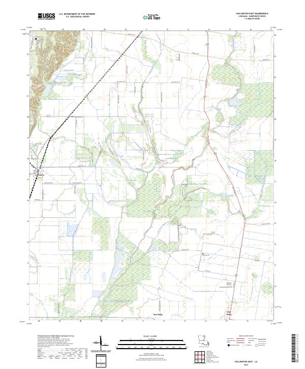
2024 Map of Collinston East
USGS Topo · Published 2024About this map
Little Bayou Bonne Idee and Bayou Galion snake through this Morehouse Parish landscape, defining the drainage patterns and historical agricultural boundaries of the region. The map captures the quiet transition between the village of Collinston at the western edge and Oak Ridge to the southeast, connected by a network of rural roads that often bear local family names like George Gardner Rd and Johnnie Jones Rd.
Find a feature on this map
49 named features on this map. Tap any name to fly to it.
Don’t see what you’re looking for? This feature index may not catch every label — zoom into the map to look around manually.
Map Details
Editions of this 2024 Collinston East Map
This is the sole edition of this map. No revisions or reprints were ever made.
Other maps of this area

1935 · Collinston
USGS Topo · 1:62,500

1935 · Naff
USGS Topo · 1:62,500

1935 · Hurricane
USGS Topo · 1:62,500

1935 · Bonita
USGS Topo · 1:62,500

1955 · Jackson
USGS Topo · 1:250,000

1956 · Bastrop
USGS Topo · 1:62,500

1957 · Collinston
USGS Topo · 1:62,500

1958 · Hurricane
USGS Topo · 1:62,500

1958 · Bonita
USGS Topo · 1:62,500

1961 · Jackson
USGS Topo · 1:250,000