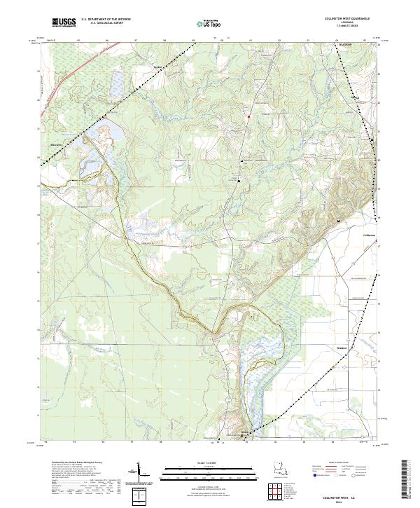
2024 Map of Collinston West
USGS Topo · Published 2024About this map
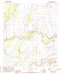
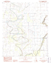
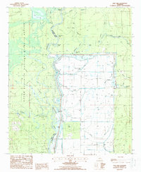
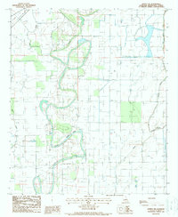
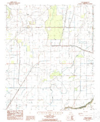
Wham Brake and the surrounding wetlands of Morehouse Parish dominate this 2024 landscape, where the low-lying drainage of Sandy Lick Bayou and Staulkinghead Creek meets the elevated terrain of Wham Ridge. This area is characterized by a mix of agricultural fields and significant brake and slough formations, such as Mayhaw Brake and Carney Slough, which have historically shaped the settlement patterns of small communities like Wham and Spyker. The map is particularly useful for genealogists, as it preserves the locations of several family and community burial grounds, including the Pickett Family Cem, Pine Grove Cem, and Howell Cem. Modern road networks like New Monroe Rd and Old Monroe Rd follow the natural topography, linking established settlements like Collinston and Marcarco across the parish line.
Find a feature on this map
71 named features on this map. Tap any name to fly to it.
Don’t see what you’re looking for? This feature index may not catch every label — zoom into the map to look around manually.
Map Details
Editions of this 2024 Collinston West Map
This is the sole edition of this map. No revisions or reprints were ever made.
Historical Maps of Windsor Through Time
20 maps found
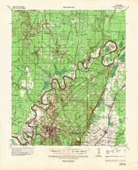
1935 Naff
Morehouse Parish, LA
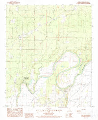
1982 Collinston East
Morehouse Parish, LA
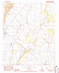
1982 Collinston West
Morehouse Parish, LA
1982 Irwin Lake
Morehouse Parish, LA
1986 Whitney Island North
Morehouse Parish, LA
1987 Fish Lake
Morehouse Parish, LA
1988 Bonita SW
Morehouse Parish, LA
1988 Laark
Morehouse Parish, LA
1988 Twin Oaks
Morehouse Parish, LA
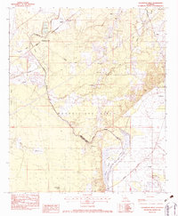
1994 Collinston West
Morehouse Parish, LA
1998 Beekman
Morehouse Parish, LA
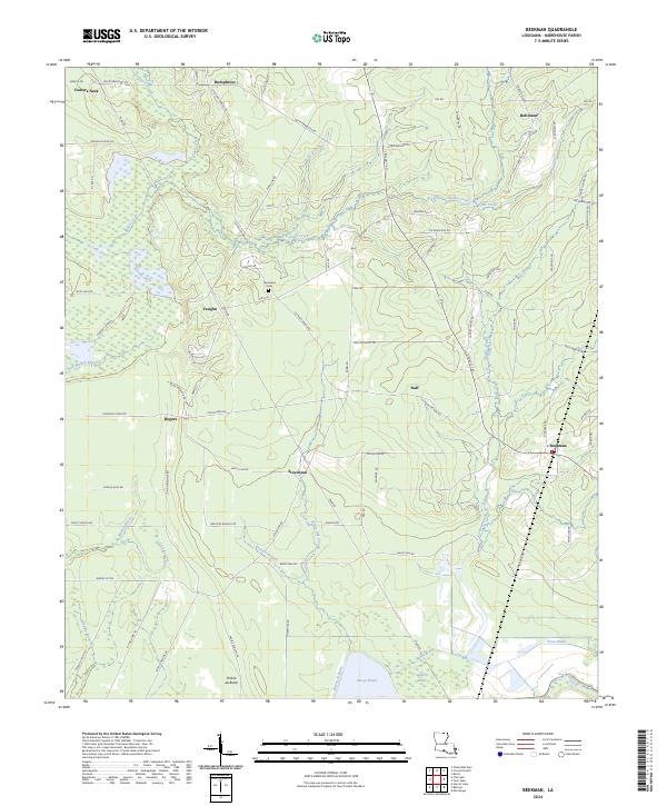
2024 Beekman
Morehouse Parish, LA
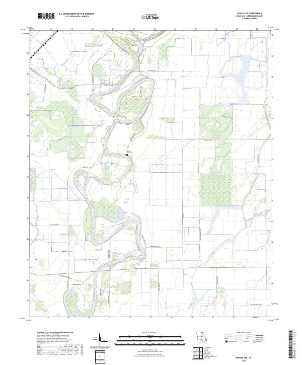
2024 Bonita SW
Morehouse Parish, LA
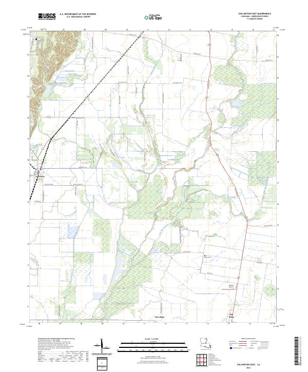
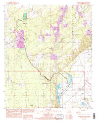
2024 Collinston East
Morehouse Parish, LA
2024 Collinston West
Morehouse Parish, LA
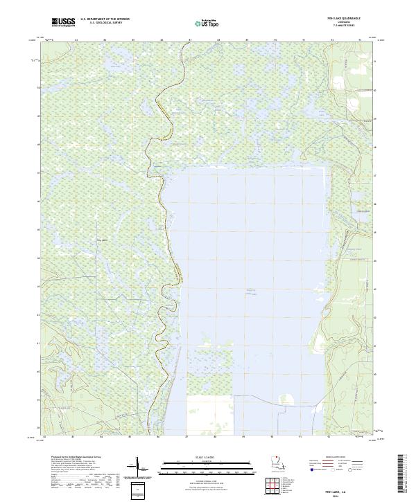
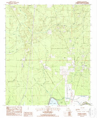
2024 Fish Lake
Morehouse Parish, LA
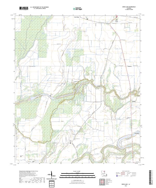
2024 Irwin Lake
Morehouse Parish, LA
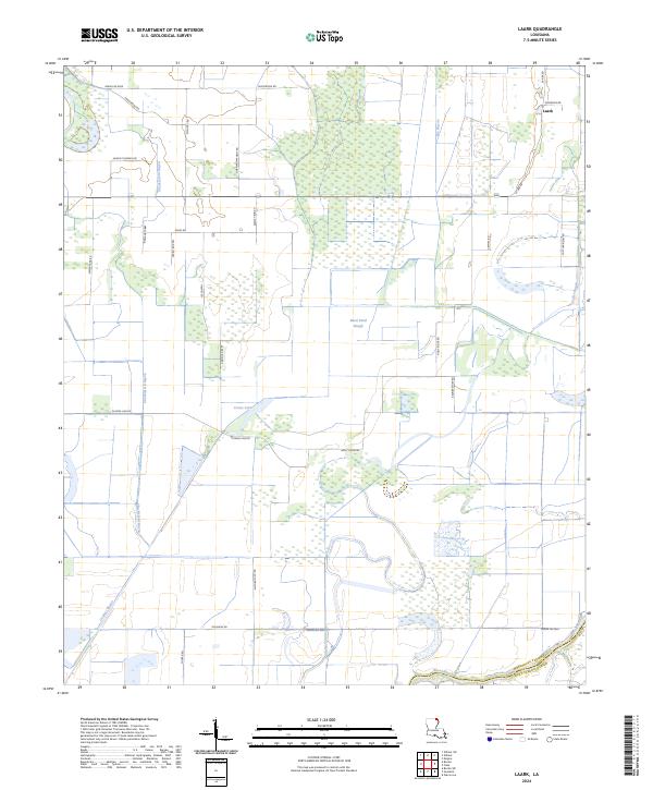
2024 Laark
Morehouse Parish, LA
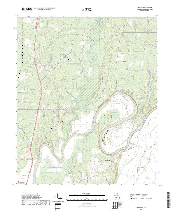
2024 Twin Oaks
Morehouse Parish, LA
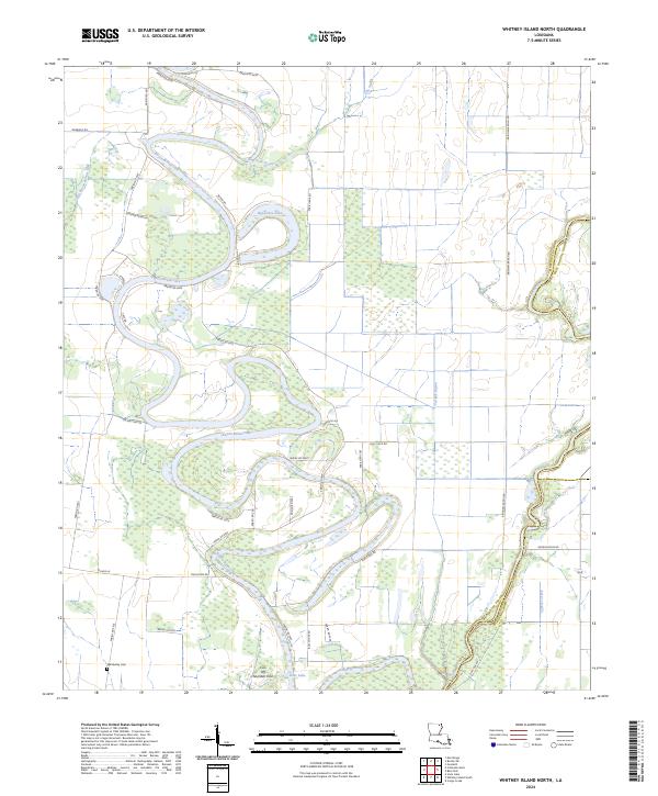
2024 Whitney Island North
Morehouse Parish, LA