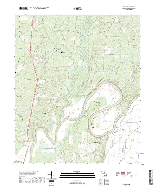
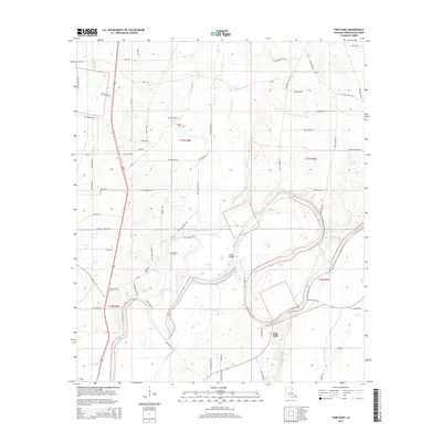
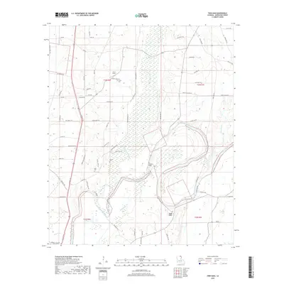
2024 Map of Twin Oaks
USGS Topo · Published 2024About this map
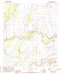
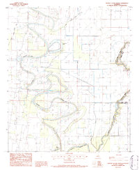
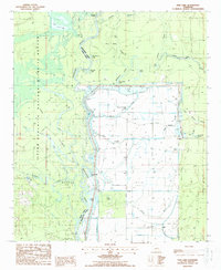
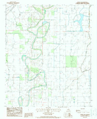
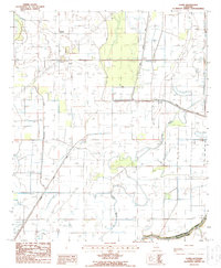
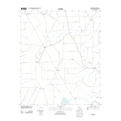
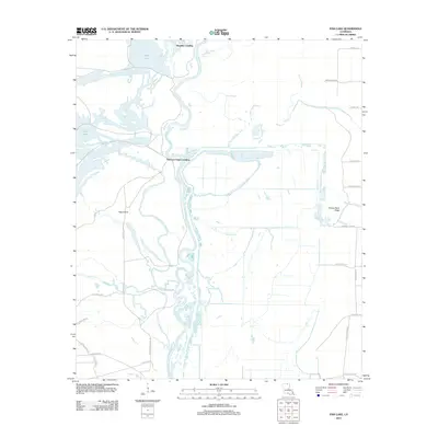
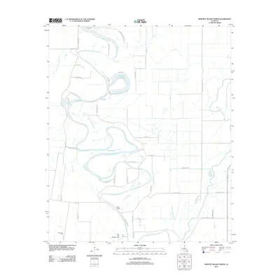
Bayou Bartholomew meanders through this Morehouse Parish landscape, creating a complex network of wetlands and oxbows including Harrell Brake and Pratt Brake. The area around Twin Oaks is characterized by its reliance on these water systems, with Chemin-A-Haut Bayou and Jelks Bayou defining the local drainage patterns. For genealogists, the map identifies several local burial sites, such as Causey Cem, Neamon Cem, and Kelly Cem, which are often the only remaining markers of early settlement families in this rural stretch of Louisiana.
Find a feature on this map
69 named features on this map. Tap any name to fly to it.
Don’t see what you’re looking for? This feature index may not catch every label — zoom into the map to look around manually.
Map Details
Editions of this 2024 Twin Oaks Map
This is the sole edition of this map. No revisions or reprints were ever made.
Historical Maps of Twin Oaks Through Time
56 maps found
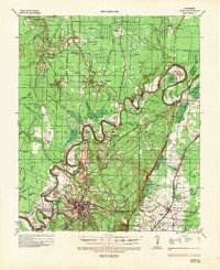
1935 Naff
Morehouse Parish, LA
1982 Collinston East
Morehouse Parish, LA
1982 Collinston West
Morehouse Parish, LA
1982 Irwin Lake
Morehouse Parish, LA
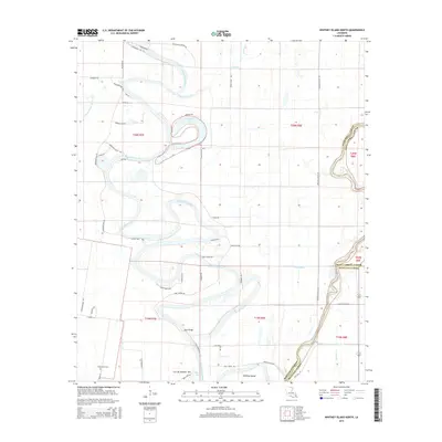
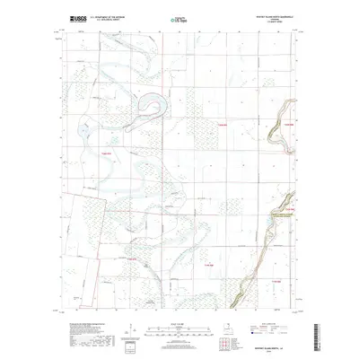
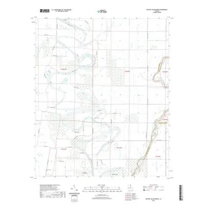
1986 Whitney Island North
Morehouse Parish, LA
1987 Fish Lake
Morehouse Parish, LA
1988 Bonita SW
Morehouse Parish, LA
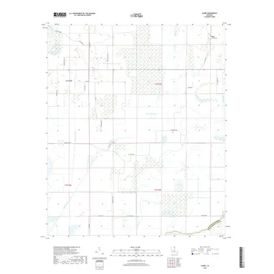
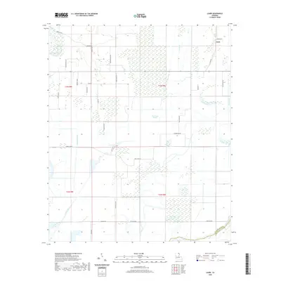
1988 Laark
Morehouse Parish, LA
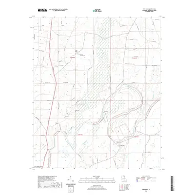
1988 Twin Oaks
Morehouse Parish, LA
1994 Collinston West
Morehouse Parish, LA
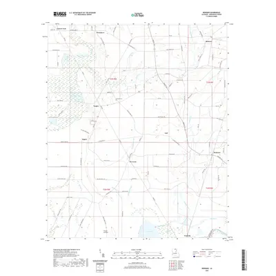
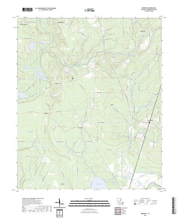
1998 Beekman
Morehouse Parish, LA
2012 Beekman
Morehouse Parish, LA
2012 Bonita SW
Morehouse Parish, LA
2012 Collinston East
Morehouse Parish, LA
2012 Collinston West
Morehouse Parish, LA
2012 Fish Lake
Morehouse Parish, LA
2012 Irwin Lake
Morehouse Parish, LA
2012 Laark
Morehouse Parish, LA
2012 Twin Oaks
Morehouse Parish, LA
2012 Whitney Island North
Morehouse Parish, LA
2015 Beekman
Morehouse Parish, LA
2015 Bonita SW
Morehouse Parish, LA
2015 Collinston East
Morehouse Parish, LA
2015 Collinston West
Morehouse Parish, LA
2015 Fish Lake
Morehouse Parish, LA
2015 Irwin Lake
Morehouse Parish, LA
2015 Laark
Morehouse Parish, LA
2015 Twin Oaks
Morehouse Parish, LA
2015 Whitney Island North
Morehouse Parish, LA
2018 Beekman
Morehouse Parish, LA
2018 Bonita SW
Morehouse Parish, LA
2018 Collinston East
Morehouse Parish, LA
2018 Collinston West
Morehouse Parish, LA
2018 Fish Lake
Morehouse Parish, LA
2018 Irwin Lake
Morehouse Parish, LA
2018 Laark
Morehouse Parish, LA
2018 Twin Oaks
Morehouse Parish, LA
2018 Whitney Island North
Morehouse Parish, LA
2020 Beekman
Morehouse Parish, LA
2020 Bonita SW
Morehouse Parish, LA
2020 Collinston East
Morehouse Parish, LA
2020 Collinston West
Morehouse Parish, LA

2020 Fish Lake
Morehouse Parish, LA
2020 Irwin Lake
Morehouse Parish, LA
2020 Laark
Morehouse Parish, LA
2020 Twin Oaks
Morehouse Parish, LA
2020 Whitney Island North
Morehouse Parish, LA
2024 Beekman
Morehouse Parish, LA
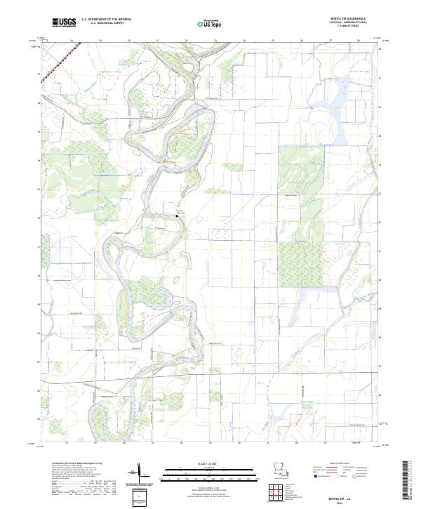
2024 Bonita SW
Morehouse Parish, LA
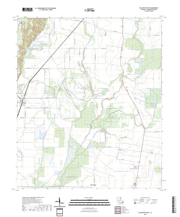
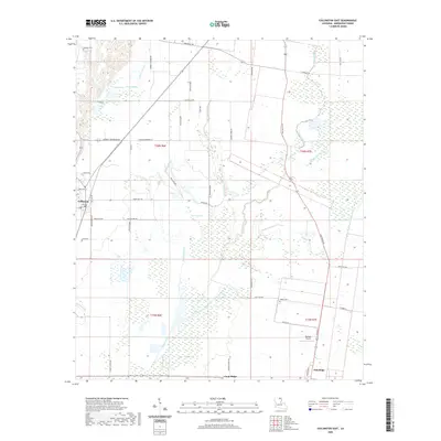
2024 Collinston East
Morehouse Parish, LA
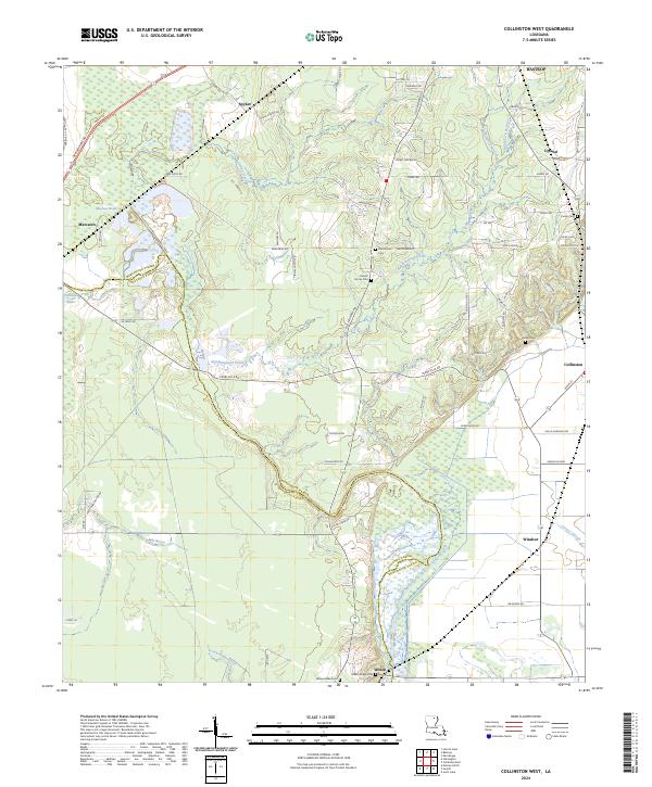
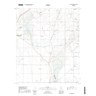
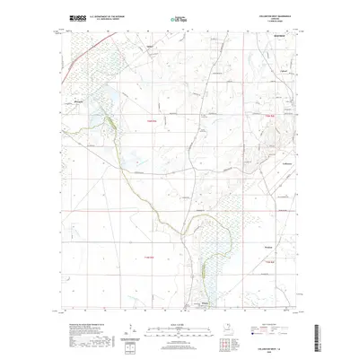
2024 Collinston West
Morehouse Parish, LA
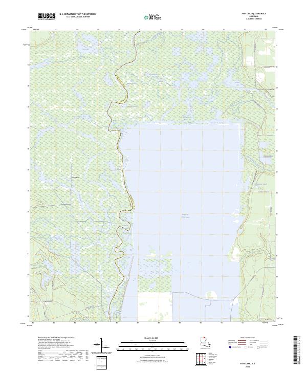
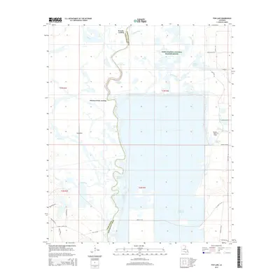
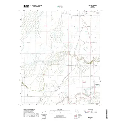
2024 Fish Lake
Morehouse Parish, LA
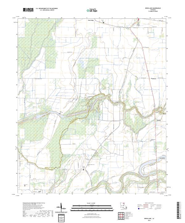
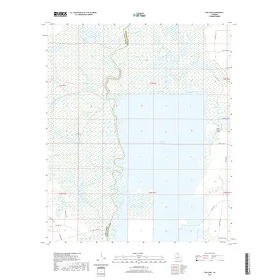
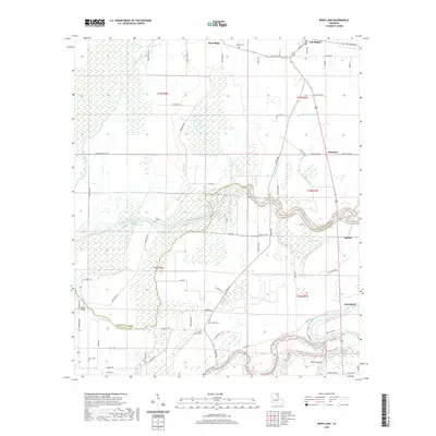
2024 Irwin Lake
Morehouse Parish, LA
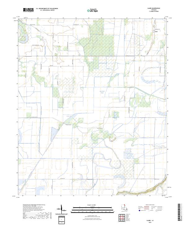
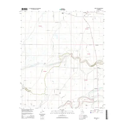
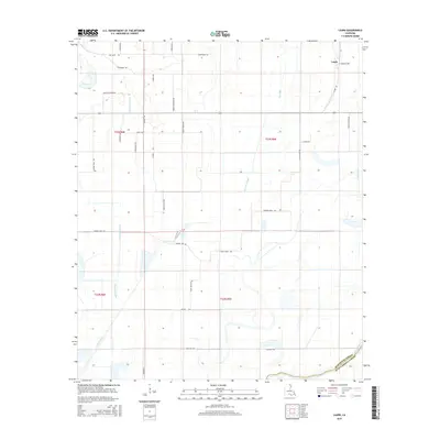
2024 Laark
Morehouse Parish, LA
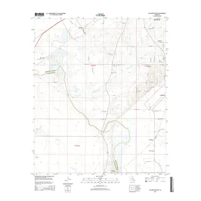
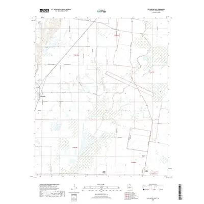
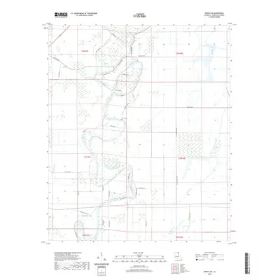
2024 Twin Oaks
Morehouse Parish, LA
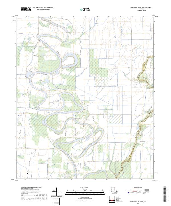
2024 Whitney Island North
Morehouse Parish, LA