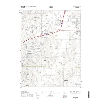
2021 Map of Collinsville
USGS Topo · Published 2021About this map
Collinsville and Maryville anchor this 2021 landscape, illustrating the dense suburban corridor east of the Mississippi River. The sheet is exceptionally rich in genealogical data, preserving the locations of numerous family and church burial grounds such as the Cook Family Cem, Edwards Family Cem, and Lemen Cem. These sites, along with the Lemen Settlement Rd, point to the area's deep agricultural and early pioneer roots.
Find a feature on this map
279 named features on this map. Tap any name to fly to it.
Don’t see what you’re looking for? This feature index may not catch every label — zoom into the map to look around manually.
Map Details
Editions of this 2021 Collinsville Map
This is the sole edition of this map. No revisions or reprints were ever made.
Other maps of this area

1888 · St. Louis
USGS Topo · 1:62,500

1907 · Belleville
USGS Topo · 1:62,500

1927 · Alton
USGS Topo · 1:62,500

1927 · Edwardsville
USGS Topo · 1:62,500

1931 · French Village
USGS Topo · 1:24,000

1932 · Edwardsville
USGS Topo · 1:62,500

1934 · Alton
USGS Topo · 1:62,500

1935 · Lebanon
USGS Topo · 1:24,000

1935 · French Village
USGS Topo · 1:24,000

1935 · Monks Mound
USGS Topo · 1:24,000