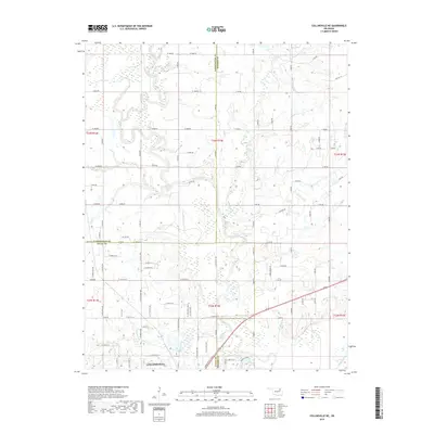
2019 Map of Collinsville NE
USGS Topo · Published 2019About this map
The northern limits of Collinsville and the expansive river plains of the Caney River define this corner of Oklahoma where Tulsa, Rogers, and Washington counties meet. The landscape is characterized by a dense network of tributaries including Saunders Cr, Buck Cr, and Horsepen Cr, which wind through the township and range divisions. This 2019 survey shows the area's transition from the residential edges of town into a more dispersed agricultural pattern, marked by a systematic grid of county roads such as W 3900 Rd and S 4070 Rd. The winding path of Rabb Cr in the northeast highlights the alluvial nature of the terrain, while the confluence of several small creeks like Blackjack Cr and Cherry Cr near the town center indicates the drainage patterns that influenced local development.
Find a feature on this map
63 named features on this map. Tap any name to fly to it.
Don’t see what you’re looking for? This feature index may not catch every label — zoom into the map to look around manually.
Map Details
Editions of this 2019 Collinsville NE Map
This is the sole edition of this map. No revisions or reprints were ever made.
Other maps of this area

1901 · Claremore
USGS Topo · 1:125,000

1901 · Nowata
USGS Topo · 1:125,000

1914 · Nowata
USGS Topo · 1:125,000

1914 · Claremore
USGS Topo · 1:125,000

1916 · Claremore
USGS Topo · 1:125,000

1954 · Tulsa
USGS Topo · 1:250,000

1955 · Sperry
USGS Topo · 1:24,000

1956 · Collinsville
USGS Topo · 1:24,000

1958 · Tulsa
USGS Topo · 1:250,000

1959 · Collinsville NE
USGS Topo · 1:24,000