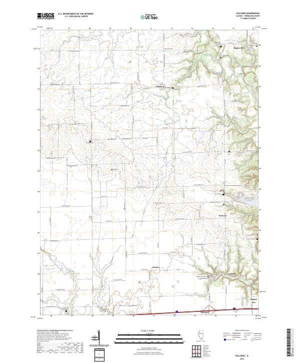
2024 Map of Collison
USGS Topo · Published 2024About this map
The Middle Fork Vermilion Wild and Scenic River carves a deep valley through the northeast corner of this Vermilion County landscape, providing a sharp contrast to the surrounding agricultural grid. This area is dotted with small, historic settlements including Collison, Higginsville, Newtown, Brothers, and Glenburn. Genealogists will find a wealth of burial sites preserved across the countryside, from Higginsville Cem and Porter Cem near the river to more isolated locations like Rice Cem and Stump Cem. The southern edge of the map shows the community of Oakwood and the unique residential grouping at Belgium Row. Numerous tributaries such as Collison Branch, Feather Creek, and Glenburn Creek define the local drainage patterns that shaped early homesteading and rural development in this part of Illinois.
Find a feature on this map
83 named features on this map. Tap any name to fly to it.
Don’t see what you’re looking for? This feature index may not catch every label — zoom into the map to look around manually.
Map Details
Editions of this 2024 Collison Map
This is the sole edition of this map. No revisions or reprints were ever made.
Other maps of this area

1899 · Danville
USGS Topo · 1:62,500

1900 · Danville
USGS Topo · 1:62,500

1931 · Fithian
USGS Topo · 1:48,000

1933 · Hoopeston
USGS Topo · 1:48,000

1936 · Potomac
USGS Topo · 1:62,500

1938 · Hoopeston
USGS Topo · 1:62,500

1943 · Fithian
USGS Topo · 1:62,500

1948 · Danville NW
USGS Topo · 1:24,000

1949 · Danville SW
USGS Topo · 1:24,000

1950 · Danville SW
USGS Topo · 1:24,000