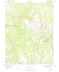
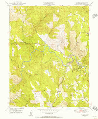
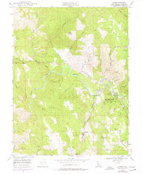
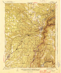
1949 Map of Coloma
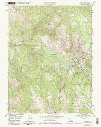
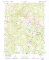
USGS Topo · Published 1974About this map
Gold Discovery Site State Park anchors this portion of the Sierra Nevada foothills, marking the 1848 discovery that triggered the California Gold Rush. The South Fork American River winds through the center of the sheet, where the Sutters Mill (Site) and the James W Marshall State Historical Monument preserve the foundational history of the region. Surrounding the town of Coloma and nearby Lotus, the landscape remains heavily scarred by its mining heritage, evidenced by the Lilyama Mine, Boulder Mine, and Dolores Mine. Beyond the river valley, the terrain rises toward Mt Ararat and Clark Mtn, with local life at mid-century centered on small outposts like Four Corners and the Springvale School. The map's detail reveals the transition from a frenetic gold-production era to a landscape of historical preservation and rural settlement.
Find a feature on this map
63 named features on this map. Tap any name to fly to it.
Don’t see what you’re looking for? This feature index may not catch every label — zoom into the map to look around manually.
Map Details
Editions of this 1949 Coloma Map
6 editions found
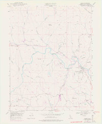
Other maps of this area

1891 · Sacramento
USGS Topo · 1:125,000

1891 · Placerville
USGS Topo · 1:125,000

1892 · Sacramento
USGS Topo · 1:125,000

1892 · Placerville
USGS Topo · 1:125,000

1893 · Placerville
USGS Topo · 1:125,000

1893 · Sacramento
USGS Topo · 1:125,000

1941 · Folsom
USGS Topo · 1:62,500
1944 · Auburn
USGS Topo · 1:62,500

1944 · Folsom
USGS Topo · 1:62,500

1947 · Sacramento
USGS Topo · 1:250,000