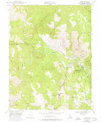
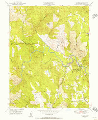
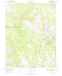
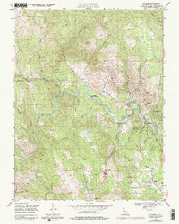
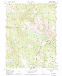
1949 Map of Coloma
USGS Topo · Published 1977About this map
Gold Discovery Site State Park anchors this terrain along the South Fork American River, marking the pivotal location of Sutters Mill (Site). The map captures the historic heart of California's gold rush era, centered on the town of Coloma and the nearby James W Marshall State Historical Monument. The landscape is etched with the evidence of extractive industry, from the Lilyama Mine near Hastings Creek to the Boulder Mine and Delores Mine further south.
Find a feature on this map
54 named features on this map. Tap any name to fly to it.
Don’t see what you’re looking for? This feature index may not catch every label — zoom into the map to look around manually.
Map Details
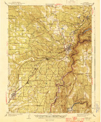
Editions of this 1949 Coloma Map
6 editions found
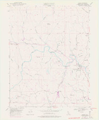
Other maps of this area

1891 · Sacramento
USGS Topo · 1:125,000

1891 · Placerville
USGS Topo · 1:125,000

1892 · Sacramento
USGS Topo · 1:125,000

1892 · Placerville
USGS Topo · 1:125,000

1893 · Placerville
USGS Topo · 1:125,000

1893 · Sacramento
USGS Topo · 1:125,000

1941 · Folsom
USGS Topo · 1:62,500
1944 · Auburn
USGS Topo · 1:62,500

1944 · Folsom
USGS Topo · 1:62,500

1947 · Sacramento
USGS Topo · 1:250,000