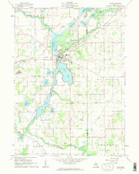
1961 Map of Colon
USGS Topo · Published 1962About this map
Sturgeon Lake and Palmer Lake form the watery heart of this lake-strewn landscape, where the town of Colon sits at a narrow point between the basins. The drainage of the St Joseph River and Swan Creek defines the local topography, supporting a community shaped by its waterways and rail connections. The New York Central railroad cuts through the terrain, passing the small settlement of Fairfax and connecting the region to larger markets. For genealogists and local historians, the sheet preserves the locations of several country institutions, including the Mennonite Ch and St Pauls Ch, alongside rural schools like the Needham Sch and Culver Sch. Distinctive landmarks such as Colon Mountain and the South Colon Cem provide anchor points for tracing family tracts and long-standing property lines across the townships.
Find a feature on this map
41 named features on this map. Tap any name to fly to it.
Don’t see what you’re looking for? This feature index may not catch every label — zoom into the map to look around manually.
Map Details
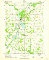
Editions of this 1961 Colon Map
2 editions found
Other maps of this area

1918 · Union City
USGS Topo · 1:62,500

1918 · Leonidas
USGS Topo · 1:62,500

1944 · Leonidas
USGS Topo · 1:62,500

1947 · Union City
USGS Topo · 1:62,500

1947 · Leonidas
USGS Topo · 1:62,500

1950 · Leonidas
USGS Topo · 1:62,500

1950 · Union City
USGS Topo · 1:62,500

1953 · Fort Wayne
USGS Topo · 1:250,000

1956 · Fort Wayne
USGS Topo · 1:250,000

1958 · Grand Rapids
USGS Topo · 1:250,000