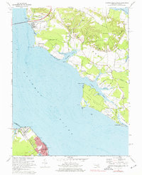
1968 Map of Colonial Beach North
USGS Topo · Published 1977About this map
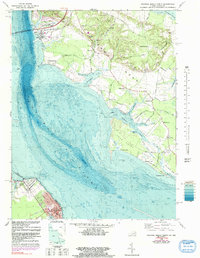
Potomac River views define this coastal stretch of Charles County and Westmoreland County in the late 1960s, where the Harry W Nice Memorial Bridge spans the water near Morgantown. This survey highlights a rural landscape shaped by the river and tidal inlets, featuring the prominent reach of Swan Point and the neighboring Cuckold Neck. Inland, a network of country roads like Mill Run Road and Piccowaxen Road connects small communities and agricultural sites, including several Gravel Pits.
Find a feature on this map
92 named features on this map. Tap any name to fly to it.
Don’t see what you’re looking for? This feature index may not catch every label — zoom into the map to look around manually.
Map Details
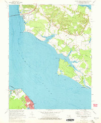
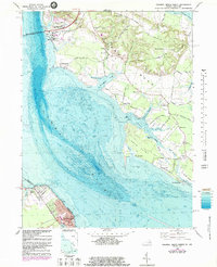
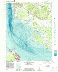
Editions of this 1968 Colonial Beach North Map
5 editions found
Other maps of this area

1889 · Fredericksburg
USGS Topo · 1:125,000

1892 · Fredericksburg
USGS Topo · 1:125,000

1892 · Montross
USGS Topo · 1:62,500

1894 · Wicomico
USGS Topo · 1:62,500

1894 · Fredericksburg
USGS Topo · 1:125,000

1895 · Wicomico
USGS Topo · 1:62,500

1895 · Nomini
USGS Topo · 1:125,000

1895 · Montross
USGS Topo · 1:62,500

1898 · Nomini
USGS Topo · 1:125,000

1902 · Wicomico
USGS Topo · 1:62,500