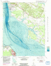
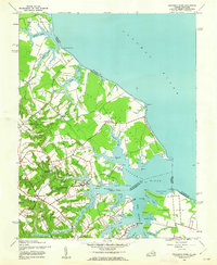
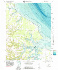
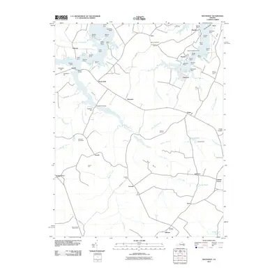
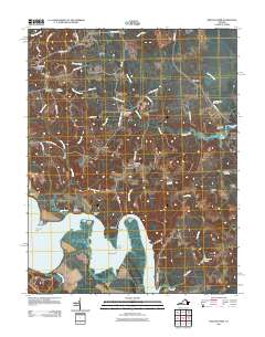
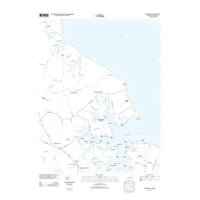
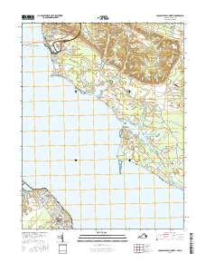
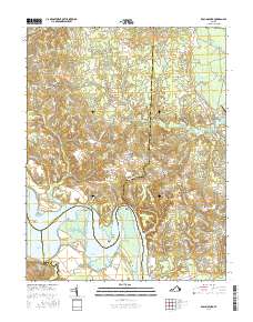
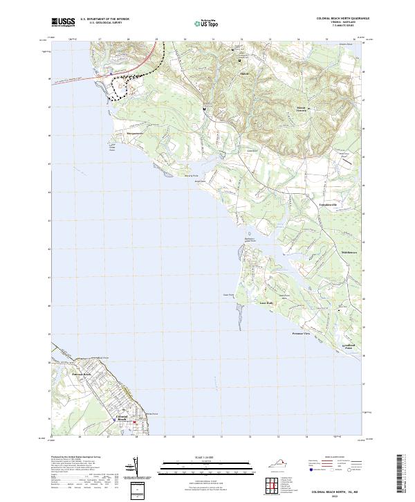
1968 Map of Colonial Beach North
USGS Topo · Published 1991About this map
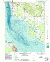
The Potomac River dominates this mid-century survey, dividing Charles County, Maryland, from Westmoreland County, Virginia. On the Virginia shore, the grid of Colonial Beach stretches toward Monroe Bay, showing the town's density near White Pt and the Mary Washington Sch. This area is a complex landscape of tidal estuaries and rural uplands, where the Harry W Nice Memorial Bridge spans the water toward the industrial activity at Morgantown, marked by a powerplant and large industrial waste ponds.
Find a feature on this map
67 named features on this map. Tap any name to fly to it.
Don’t see what you’re looking for? This feature index may not catch every label — zoom into the map to look around manually.
Map Details
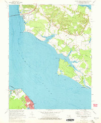
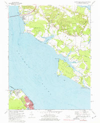
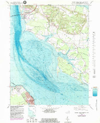
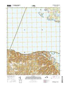
Editions of this 1968 Colonial Beach North Map
5 editions found
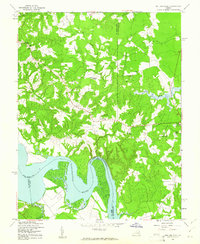
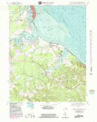
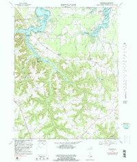
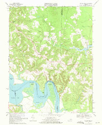
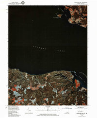
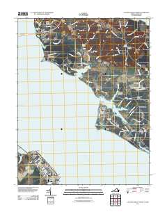
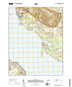
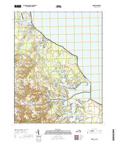
Historical Maps of Colonial Beach Through Time
45 maps found

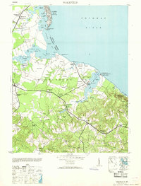
1930 Wakefield
Westmoreland County, VA
1932 Wakefield
Westmoreland County, VA

1942 Rollins Fork
Westmoreland County, VA
1943 Machodoc
Westmoreland County, VA
1943 Wakefield
Westmoreland County, VA
1943 Yeocomico River
Westmoreland County, VA
1949 Rollins Fork
Westmoreland County, VA
1953 Wakefield
Westmoreland County, VA
1968 Colonial Beach North
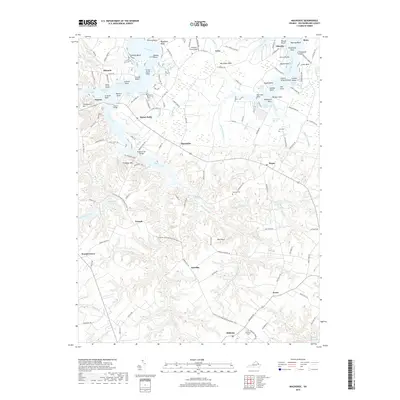
Westmoreland County, VA
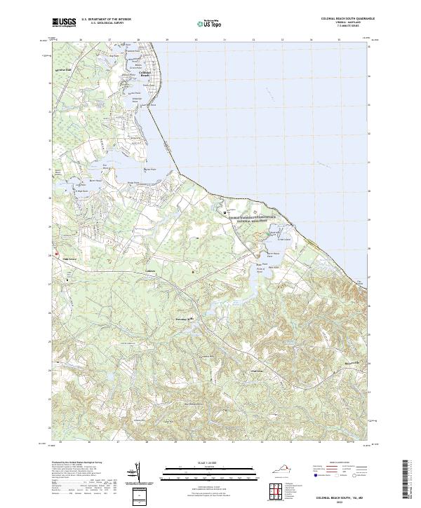
1968 Colonial Beach South
Westmoreland County, VA
1968 Kinsale
Westmoreland County, VA
1968 Machodoc
Westmoreland County, VA
1968 Rollins Fork
Westmoreland County, VA

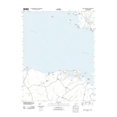
1968 Stratford Hall
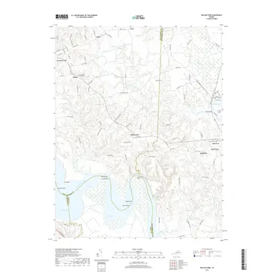
Westmoreland County, VA
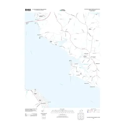
1981 Stratford Hall
Westmoreland County, VA
2010 Machodoc
Westmoreland County, VA
2011 Colonial Beach North
Westmoreland County, VA
2011 Colonial Beach South
Westmoreland County, VA
2011 Kinsale
Westmoreland County, VA
2011 Rollins Fork
Westmoreland County, VA
2011 Stratford Hall
Westmoreland County, VA
2013 Colonial Beach North
Westmoreland County, VA
2013 Colonial Beach South
Westmoreland County, VA
2013 Kinsale
Westmoreland County, VA
2013 Machodoc
Westmoreland County, VA
2013 Rollins Fork
Westmoreland County, VA
2013 Stratford Hall
Westmoreland County, VA
2016 Colonial Beach North
Westmoreland County, VA
2016 Colonial Beach South
Westmoreland County, VA
2016 Kinsale
Westmoreland County, VA
2016 Machodoc
Westmoreland County, VA
2016 Rollins Fork
Westmoreland County, VA
2016 Stratford Hall
Westmoreland County, VA
2019 Colonial Beach North
Westmoreland County, VA

2019 Colonial Beach South
Westmoreland County, VA
2019 Kinsale
Westmoreland County, VA
2019 Machodoc
Westmoreland County, VA
2019 Rollins Fork
Westmoreland County, VA
2019 Stratford Hall
Westmoreland County, VA
2022 Colonial Beach North
Westmoreland County, VA
2022 Colonial Beach South
Westmoreland County, VA
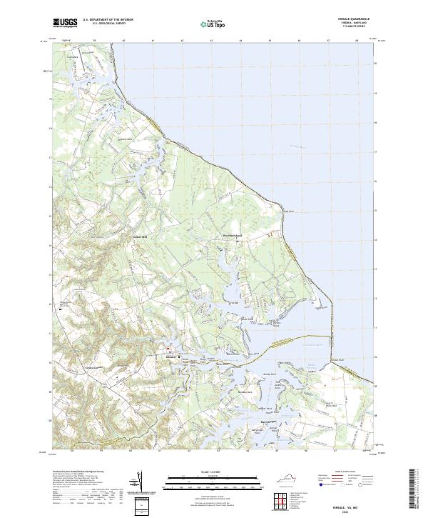
2022 Kinsale
Westmoreland County, VA
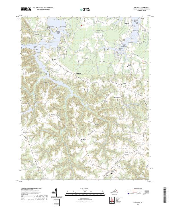
2022 Machodoc
Westmoreland County, VA
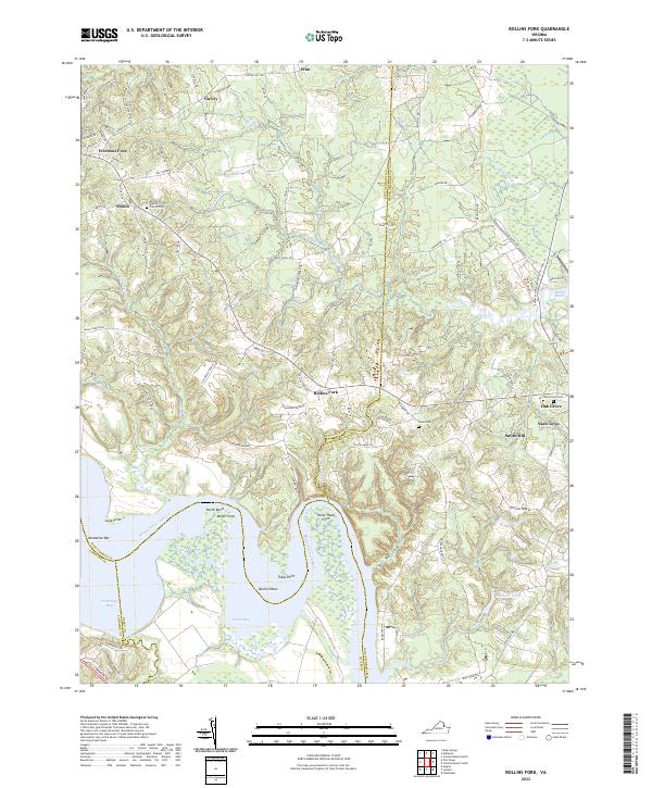
2022 Rollins Fork
Westmoreland County, VA
2022 Stratford Hall
Westmoreland County, VA