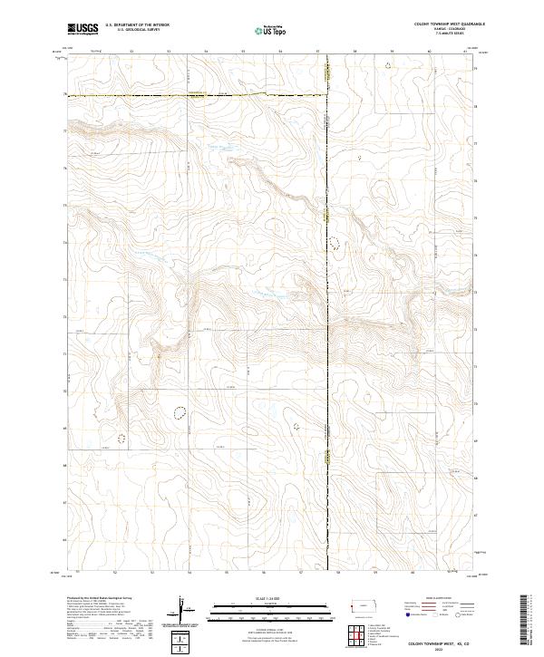
2022 Map of Colony Township West
USGS Topo · Published 2022About this map
The High Plains borderlands are defined here by a systematic grid of section lines and the intermittent drainage of White Woman Cr. This specific quadrant of the High Plains captures the intersection of three counties and the state line between Colorado and Kansas. The landscape is etched by the S Fork White Woman Cr, which meanders through a terrain otherwise dominated by the rigid geometry of the Public Land Survey System. Local transport is facilitated by a network of county roads, including Co Rd 78 and Co Rd 3, which serve as the primary conduits between isolated homesteads and larger agricultural centers. The demarcation of boundaries such as the Cheyenne County and Kiowa County line underscores the administrative organization of this expansive, open environment during the early 21st century.
Find a feature on this map
22 named features on this map. Tap any name to fly to it.
Don’t see what you’re looking for? This feature index may not catch every label — zoom into the map to look around manually.
Map Details
Editions of this 2022 Colony Township West Map
This is the sole edition of this map. No revisions or reprints were ever made.
Other maps of this area

1890 · Granada
USGS Topo · 1:125,000

1892 · Cheyenne Wells
USGS Topo · 1:125,000

1892 · Granada
USGS Topo · 1:125,000

1894 · Cheyenne Wells
USGS Topo · 1:125,000

1894 · Granada
USGS Topo · 1:125,000

1954 · Lamar
USGS Topo · 1:250,000

1955 · Scott City
USGS Topo · 1:250,000

1958 · Lamar
USGS Topo · 1:250,000

1958 · Scott City
USGS Topo · 1:250,000

1968 · Sharon Springs 3 NW
USGS Topo · 1:24,000