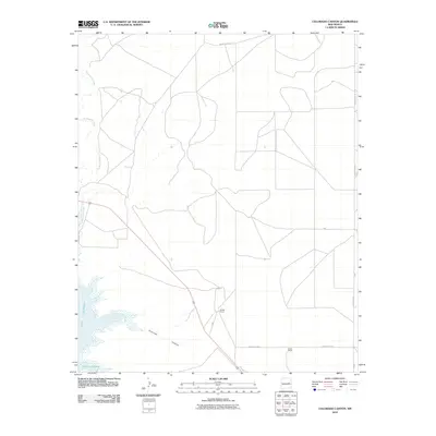
2010 Map of Colorado Canyon
USGS Topo · Published 2010About this map
Lake Sumner anchors the southwestern corner of this landscape, its fluctuating shoreline defining the transition between the reservoir and the surrounding high plains. In this arid reach of De Baca County, the terrain is carved by the Colorado Canyon and fed by the winding course of Alamogordo Creek, which meanders from the northwest toward the water. The map reflects a ranching-based economy, showing isolated outposts like the McRee Ranch and Head Ranch connected by a sparse network of county roads and backroutes. These ranch sites represent the enduring land-use patterns of the New Mexico plains, where wide-open grazing land is punctuated only by established homesteads and drainage ways. A system of designated routes including County Rd-3-31 and County Rd-3-24 provides the primary infrastructure for traversing this remote section of the Colorado Canyon quadrangle.
Find a feature on this map
13 named features on this map. Tap any name to fly to it.
Don’t see what you’re looking for? This feature index may not catch every label — zoom into the map to look around manually.
Map Details
Editions of this 2010 Colorado Canyon Map
This is the sole edition of this map. No revisions or reprints were ever made.
Other maps of this area

1954 · Fort Sumner
USGS Topo · 1:250,000

1958 · Fort Sumner
USGS Topo · 1:250,000

1964 · Canada Colorado
USGS Topo · 1:24,000

1964 · Fallon Ranch
USGS Topo · 1:24,000

1965 · Windmill Draw
USGS Topo · 1:24,000

1966 · Gibbons Ranch
USGS Topo · 1:24,000

1966 · Alamogordo Dam
USGS Topo · 1:24,000

1966 · Colorado Canyon
USGS Topo · 1:24,000

1968 · Twin Mesa NW
USGS Topo · 1:24,000

1968 · Twin Mesa
USGS Topo · 1:24,000