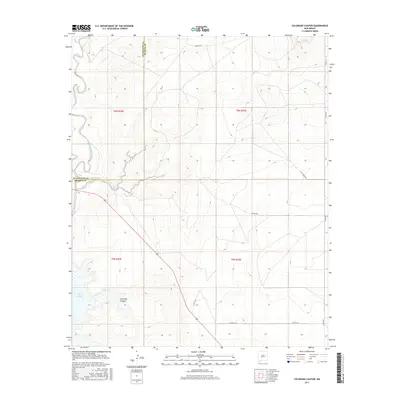
2017 Map of Colorado Canyon
USGS Topo · Published 2017About this map
Lake Sumner and its northern reaches dominate this landscape along the Pecos River valley in eastern New Mexico. The terrain is defined by the sharp descent into Colorado Canyon, where the topography drops away from the high plains. The intersection of Guadalupe and De Baca counties is marked by a north-south boundary line that cuts through the heart of the region's ranching country. Access to this remote rangeland is provided by a network of rural routes including Ranger Rd in the north and Alamo Rd along the eastern edge. Local water drainage is funneled toward the reservoir through Alamogordo Creek, illustrating the vital role of water management in this arid environment during the early 21st century.
Find a feature on this map
15 named features on this map. Tap any name to fly to it.
Don’t see what you’re looking for? This feature index may not catch every label — zoom into the map to look around manually.
Map Details
Editions of this 2017 Colorado Canyon Map
This is the sole edition of this map. No revisions or reprints were ever made.
Other maps of this area

1954 · Fort Sumner
USGS Topo · 1:250,000

1958 · Fort Sumner
USGS Topo · 1:250,000

1964 · Canada Colorado
USGS Topo · 1:24,000

1964 · Fallon Ranch
USGS Topo · 1:24,000

1965 · Windmill Draw
USGS Topo · 1:24,000

1966 · Gibbons Ranch
USGS Topo · 1:24,000

1966 · Alamogordo Dam
USGS Topo · 1:24,000

1966 · Colorado Canyon
USGS Topo · 1:24,000

1968 · Twin Mesa NW
USGS Topo · 1:24,000

1968 · Twin Mesa
USGS Topo · 1:24,000