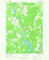
1964 Map of Colton
USGS Topo · Published 1966About this map
The Raquette River dictates the landscape and industry of this St. Lawrence County corridor in the mid-1960s, punctuated by multiple hydroelectric assets. The river's descent is managed through a series of facilities including a Powerplant at Hannawa Falls, another at Higley Falls, and a third near the South Colton Reservoir. These installations highlight the era's reliance on river power to fuel northern New York's growth. Settlements like Colton and South Colton serve as local hubs, while smaller crossroads like Vebber Corners and Wilson Corners anchor the rural outskirts.
Find a feature on this map
71 named features on this map. Tap any name to fly to it.
Don’t see what you’re looking for? This feature index may not catch every label — zoom into the map to look around manually.
Map Details
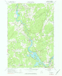
Editions of this 1964 Colton Map
2 editions found
Other maps of this area

1908 · Potsdam
USGS Topo · 1:62,500

1910 · Canton
USGS Topo · 1:62,500

1911 · Canton
USGS Topo · 1:62,500

1915 · Russell
USGS Topo · 1:62,500

1918 · Russell
USGS Topo · 1:62,500

1921 · Stark
USGS Topo · 1:62,500

1923 · Stark
USGS Topo · 1:62,500

1940 · Stark
USGS Topo · 1:62,500

1942 · Long Bow
USGS Topo · 1:24,000

1943 · Potsdam
USGS Topo · 1:31,680