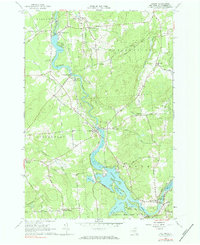
1964 Map of Colton
USGS Topo · Published 1984About this map
The Raquette River serves as the industrial and geographical spine of this St. Lawrence County landscape, captured during a period of established hydroelectric development. Multiple powerhouses and substations are shown along the river’s descent, with the Higley Flow and South Colton Reservoir illustrating the significant water management systems in place by the mid-1960s. The village of Colton serves as a central hub, flanked by several smaller rural crossroads including Hannawa Falls and Washburn Corners.
Find a feature on this map
72 named features on this map. Tap any name to fly to it.
Don’t see what you’re looking for? This feature index may not catch every label — zoom into the map to look around manually.
Map Details
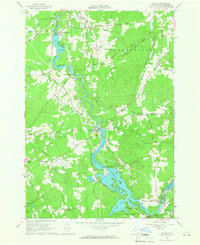
Editions of this 1964 Colton Map
2 editions found
Other maps of this area

1908 · Potsdam
USGS Topo · 1:62,500

1910 · Canton
USGS Topo · 1:62,500

1911 · Canton
USGS Topo · 1:62,500

1915 · Russell
USGS Topo · 1:62,500

1918 · Russell
USGS Topo · 1:62,500

1921 · Stark
USGS Topo · 1:62,500

1923 · Stark
USGS Topo · 1:62,500

1940 · Stark
USGS Topo · 1:62,500

1942 · Long Bow
USGS Topo · 1:24,000

1943 · Potsdam
USGS Topo · 1:31,680