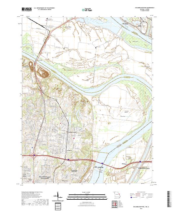
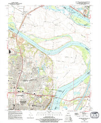
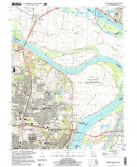
2021 Map of Columbia Bottom
USGS Topo · Published 2021About this map
The confluence area where the Missouri River meets the Mississippi River creates a complex landscape of shifting islands and industrial waterways. Settled communities like Spanish Lake and Glasgow Village sit on the higher ground west of the river bottoms, while the lowlands are dominated by expansive features such as Cora Island and Columbia Bottom. The map documents the intricate river management infrastructure, including Lock and Dam 26 and the Chain of Rocks Canal, which facilitate navigation past the natural Chain of Rocks shoals.
Find a feature on this map
47 named features on this map. Tap any name to fly to it.
Don’t see what you’re looking for? This feature index may not catch every label — zoom into the map to look around manually.
Map Details
Editions of this 2021 Columbia Bottom Map
This is the sole edition of this map. No revisions or reprints were ever made.
Historical Maps of Madison Through Time
12 maps found

1924 Robertson
St. Louis County, MO

1931 Manchester SE
St. Louis County, MO

1932 Manchester NE
St. Louis County, MO

1933 Jefferson Barracks
St. Louis County, MO
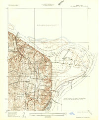
1935 Columbia Bottom
St. Louis County, MO
1941 Jefferson Barracks
St. Louis County, MO

1949 Saint Louis
St. Louis County, MO
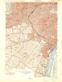
1951 Columbia Bottom
St. Louis County, MO
1994 Columbia Bottom
St. Louis County, MO
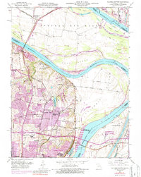
1998 Columbia Bottom
St. Louis County, MO
2021 Columbia Bottom
St. Louis County, MO
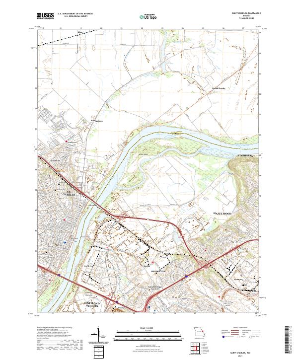
2021 Saint Charles
St. Louis County, MO