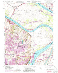
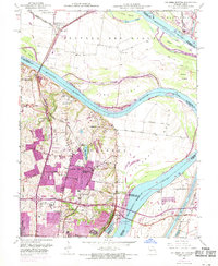
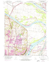
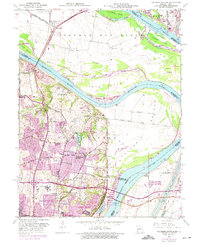
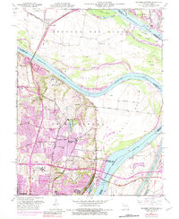
1951 Map of Columbia Bottom
USGS Topo · Published 1987About this map
Columbia Bottom marks the significant confluence of the Missouri River and Mississippi River, creating a complex landscape of shifting channels and low-lying islands like Cora Island and Ellis Island. The area reflects a transition from rural riverfront to industrializing suburban reaches, with the City of St. Louis Bellefontaine Farm and the St. Louis State Training School occupying large tracts of land. Early transportation patterns are preserved in labels like Madison Ferry Road and the Chain of Rocks Bridge. Local genealogy is well-represented through several burial grounds, including Immaculate Conception Cem and Bailey Cem. Industrial development is evident along the riverbanks, particularly at the Cement Plant and near the Chain of Rocks Canal, showing how mid-century engineering sought to manage the powerful river systems for commerce.
Find a feature on this map
54 named features on this map. Tap any name to fly to it.
Don’t see what you’re looking for? This feature index may not catch every label — zoom into the map to look around manually.
Map Details
Editions of this 1951 Columbia Bottom Map
8 editions found
Other maps of this area

1888 · St. Louis
USGS Topo · 1:62,500

1927 · Alton
USGS Topo · 1:62,500

1927 · St. Charles
USGS Topo · 1:62,500

1933 · Granite City
USGS Topo · 1:24,000

1933 · Clayton
USGS Topo · 1:24,000

1933 · Saint Charles
USGS Topo · 1:62,500

1934 · Alton
USGS Topo · 1:62,500

1935 · Granite City
USGS Topo · 1:24,000

1935 · Florissant
USGS Topo · 1:24,000

1935 · Monks Mound
USGS Topo · 1:24,000