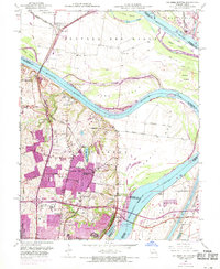
1951 Map of Columbia Bottom
USGS Topo · Published 1969About this map
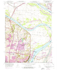
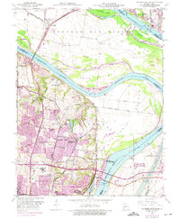
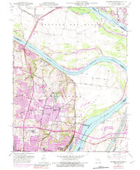
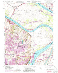
The confluence region of the Mississippi River and Missouri River forms a complex landscape of islands and alluvial bottoms north of St Louis. This 1951 survey, updated with 1968 aerial data, reveals the suburban expansion into Bellefontaine Neighbors and Spanish Lake, where residential blocks are tinted in purple. Despite this growth, the northern reach remains defined by the vast Columbia Bottom and agricultural tracts in Portage des Sioux.
Find a feature on this map
53 named features on this map. Tap any name to fly to it.
Don’t see what you’re looking for? This feature index may not catch every label — zoom into the map to look around manually.
Map Details
Editions of this 1951 Columbia Bottom Map
8 editions found
Other maps of this area

1888 · St. Louis
USGS Topo · 1:62,500

1927 · Alton
USGS Topo · 1:62,500

1927 · St. Charles
USGS Topo · 1:62,500

1933 · Granite City
USGS Topo · 1:24,000

1933 · Clayton
USGS Topo · 1:24,000

1933 · Saint Charles
USGS Topo · 1:62,500

1934 · Alton
USGS Topo · 1:62,500

1935 · Granite City
USGS Topo · 1:24,000

1935 · Florissant
USGS Topo · 1:24,000

1935 · Monks Mound
USGS Topo · 1:24,000