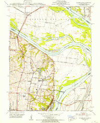
1951 Map of Columbia Bottom
USGS Topo · Published 1952About this map
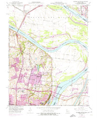
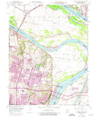
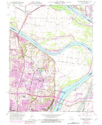
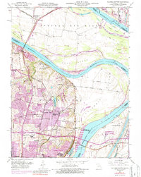
The confluence area of the Missouri and Mississippi Rivers is defined by a dense network of levees and industrial landmarks in the early 1950s. Portage Des Sioux and Columbia Bottom occupy the lowlands between the channels, where infrastructure like the Chain of Rocks Bridge and Lewis Bridge link the Missouri and Illinois shores. On the Missouri side, the landscape is shaped by institutional presence, including the City of St Louis Bellefontaine Farm, the St Louis State Training School, and the Villa Gesu Convent.
Find a feature on this map
58 named features on this map. Tap any name to fly to it.
Don’t see what you’re looking for? This feature index may not catch every label — zoom into the map to look around manually.
Map Details
Editions of this 1951 Columbia Bottom Map
8 editions found
Other maps of this area

1888 · St. Louis
USGS Topo · 1:62,500

1927 · Alton
USGS Topo · 1:62,500

1927 · St. Charles
USGS Topo · 1:62,500

1933 · Granite City
USGS Topo · 1:24,000

1933 · Clayton
USGS Topo · 1:24,000

1933 · Saint Charles
USGS Topo · 1:62,500

1934 · Alton
USGS Topo · 1:62,500

1935 · Granite City
USGS Topo · 1:24,000

1935 · Florissant
USGS Topo · 1:24,000

1935 · Monks Mound
USGS Topo · 1:24,000