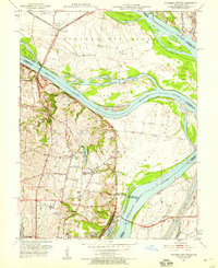
1951 Map of Columbia Bottom
USGS Topo · Published 1959About this map
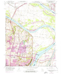
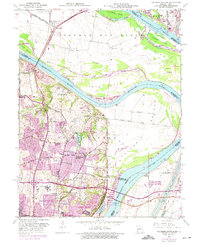
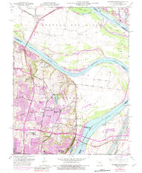
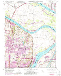
The confluence region of the Mississippi River and Missouri River is captured here during a period of institutional and suburban expansion. While West Alton sits in the flood-prone northern neck, the higher ground south of the rivers features large civic and religious properties such as the St Louis State Training School, the City of St Louis Bellefontaine Farm, and the Villa Gesu Convent. This mid-century landscape is transitioning from rural farm tracts to organized residential developments like Glasgow Village. Local history is visible in the distribution of one-room schoolhouses like Pea Ridge Sch and Twillman Sch, alongside landmarks like Fort Bellefontaine. The industrial and transit character is defined by the complex river hydrology near the Chain of Rocks, where the Chain of Rocks Bridge and multiple rail lines, including the St Louis Waterworks RR, facilitate movement across the state line.
Find a feature on this map
57 named features on this map. Tap any name to fly to it.
Don’t see what you’re looking for? This feature index may not catch every label — zoom into the map to look around manually.
Map Details
Editions of this 1951 Columbia Bottom Map
8 editions found
Other maps of this area

1888 · St. Louis
USGS Topo · 1:62,500

1927 · Alton
USGS Topo · 1:62,500

1927 · St. Charles
USGS Topo · 1:62,500

1933 · Granite City
USGS Topo · 1:24,000

1933 · Clayton
USGS Topo · 1:24,000

1933 · Saint Charles
USGS Topo · 1:62,500

1934 · Alton
USGS Topo · 1:62,500

1935 · Granite City
USGS Topo · 1:24,000

1935 · Florissant
USGS Topo · 1:24,000

1935 · Monks Mound
USGS Topo · 1:24,000