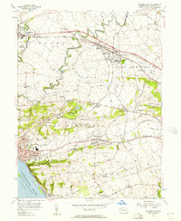
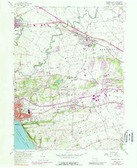
1956 Map of Columbia East
USGS Topo · Published 1957About this map
Chickies Creek meanders through a landscape defined by industry and transport in the mid-1950s, where the Pennsylvania Railroad and Reading Railroad intersect near Salunga and Landisville. The map illustrates a dense network of crossroads and small settlements like Silver Spring and Oyster Point that served the agricultural and industrial heart of Lancaster County. Institutional life is well-documented, showing the locations of the St Josephs Academy, Hempfield High Sch, and 여러 country churches such as Habecker Ch.
Find a feature on this map
64 named features on this map. Tap any name to fly to it.
Don’t see what you’re looking for? This feature index may not catch every label — zoom into the map to look around manually.
Map Details
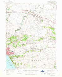
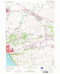
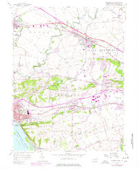
Editions of this 1956 Columbia East Map
5 editions found
Other maps of this area

1902 · Lancaster
USGS Topo · 1:62,500

1904 · Lancaster
USGS Topo · 1:62,500

1908 · Middletown
USGS Topo · 1:62,500

1908 · York
USGS Topo · 1:62,500

1910 · York
USGS Topo · 1:62,500

1912 · Mc Calls Ferry
USGS Topo · 1:62,500

1943 · Lancaster
USGS Topo · 1:62,500

1943 · Middletown
USGS Topo · 1:62,500

1943 · Mc Calls Ferry
USGS Topo · 1:62,500

1948 · Baltimore
USGS Topo · 1:250,000