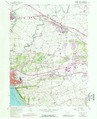
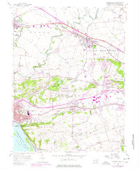
1956 Map of Columbia East
USGS Topo · Published 1989About this map
Columbia and the industrial corridor of West Hempfield stand prominently along the banks of the Susquehanna River Lake Clarke in this mid-century survey. The landscape is a complex mix of established borough life and the expanding infrastructure of the 1950s, marked by the prominent lines of Conrail and the Old Railroad Grade cutting through the terrain. Evidence of the region's agricultural roots and small-town expansion is visible in the clusters of schools and churches, including the St Josephs Academy and rural landmarks like Habecker Ch.
Find a feature on this map
66 named features on this map. Tap any name to fly to it.
Don’t see what you’re looking for? This feature index may not catch every label — zoom into the map to look around manually.
Map Details
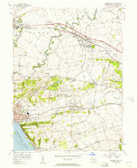
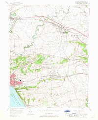
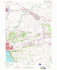
Editions of this 1956 Columbia East Map
5 editions found
Other maps of this area

1902 · Lancaster
USGS Topo · 1:62,500

1904 · Lancaster
USGS Topo · 1:62,500

1908 · Middletown
USGS Topo · 1:62,500

1908 · York
USGS Topo · 1:62,500

1910 · York
USGS Topo · 1:62,500

1912 · Mc Calls Ferry
USGS Topo · 1:62,500

1943 · Lancaster
USGS Topo · 1:62,500

1943 · Middletown
USGS Topo · 1:62,500

1943 · Mc Calls Ferry
USGS Topo · 1:62,500

1948 · Baltimore
USGS Topo · 1:250,000