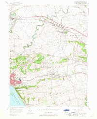
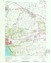
1956 Map of Columbia East
USGS Topo · Published 1968About this map
The Susquehanna River Lake Clarke defines the southwestern edge of this landscape, where Shad Island sits just offshore from Washington Boro. The terrain is characterized by the prominent rise of Chestnut Hill, which separates the river valley from the inland farming communities of West Hempfield and East Hempfield. Transportation networks are densely woven across the quadrangle, featuring the competing lines of the Pennsylvania Railroad and Reading Railroad, alongside major thoroughfares like the Lincoln Highway and the Harrisburg Pike.
Find a feature on this map
57 named features on this map. Tap any name to fly to it.
Don’t see what you’re looking for? This feature index may not catch every label — zoom into the map to look around manually.
Map Details
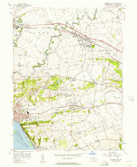
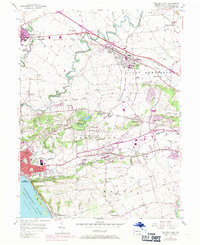
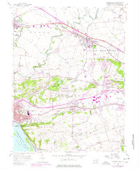
Editions of this 1956 Columbia East Map
5 editions found
Other maps of this area

1902 · Lancaster
USGS Topo · 1:62,500

1904 · Lancaster
USGS Topo · 1:62,500

1908 · Middletown
USGS Topo · 1:62,500

1908 · York
USGS Topo · 1:62,500

1910 · York
USGS Topo · 1:62,500

1912 · Mc Calls Ferry
USGS Topo · 1:62,500

1943 · Lancaster
USGS Topo · 1:62,500

1943 · Middletown
USGS Topo · 1:62,500

1943 · Mc Calls Ferry
USGS Topo · 1:62,500

1948 · Baltimore
USGS Topo · 1:250,000