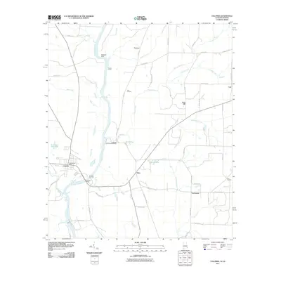
2011 Map of Columbia
USGS Topo · Published 2011About this map
The Chattahoochee River defines the border between Alabama and Georgia in this 2011 survey, centered on the riverfront town of Columbia. The landscape transition from the Alabama side to the Georgia side is marked by the industrial activity at the Columbia State Dock and the crossing of the Columbia Bridge. To the north, the river winds through Freeman Bend near Freeman Landing, a site reflecting the long history of river navigation in the region.
Find a feature on this map
53 named features on this map. Tap any name to fly to it.
Don’t see what you’re looking for? This feature index may not catch every label — zoom into the map to look around manually.
Map Details
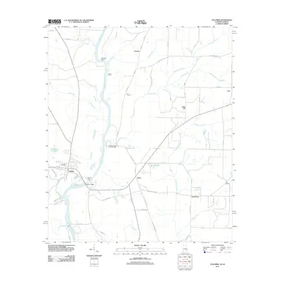
Editions of this 2011 Columbia Map
2 editions found
Other maps of this area

1953 · Dothan
USGS Topo · 1:250,000

1954 · Dothan
USGS Topo · 1:250,000

1955 · Dothan
USGS Topo · 1:250,000

1970 · Gordon
USGS Topo · 1:24,000

1970 · Columbia NE
USGS Topo · 1:24,000

1970 · Haleburg
USGS Topo · 1:24,000

1970 · Sigma
USGS Topo · 1:24,000

1970 · Columbia
USGS Topo · 1:24,000
1970 · Ashford
USGS Topo · 1:24,000

1973 · Blakely North
USGS Topo · 1:24,000