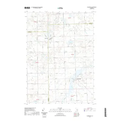
2019 Map of Columbiaville
USGS Topo · Published 2019About this map
Columbiaville and Otter Lake anchor this 2019 survey of the Michigan landscape where Lapeer, Genesee, and Tuscola Counties meet. The terrain is defined by a dense network of glacial lakes and drainage systems, including Hemmingway Lake, Harvey Lake, and the winding Flint River. This modern cartographic record captures the established rural layout of the region, showing the proximity of the two primary villages and the various drainage ways like the Forest Drain and Kester Drain that manage the local watershed.
Find a feature on this map
106 named features on this map. Tap any name to fly to it.
Don’t see what you’re looking for? This feature index may not catch every label — zoom into the map to look around manually.
Map Details
Editions of this 2019 Columbiaville Map
This is the sole edition of this map. No revisions or reprints were ever made.
Other maps of this area

1920 · Flint
USGS Topo · 1:62,500

1922 · Flint
USGS Topo · 1:62,500

1943 · Flint
USGS Topo · 1:62,500

1954 · Flint
USGS Topo · 1:250,000

1958 · Flint
USGS Topo · 1:250,000

1963 · Mayville
USGS Topo · 1:24,000

1963 · Columbiaville
USGS Topo · 1:24,000

1963 · Elba
USGS Topo · 1:24,000

1963 · Vassar
USGS Topo · 1:24,000

1963 · Juniata
USGS Topo · 1:24,000