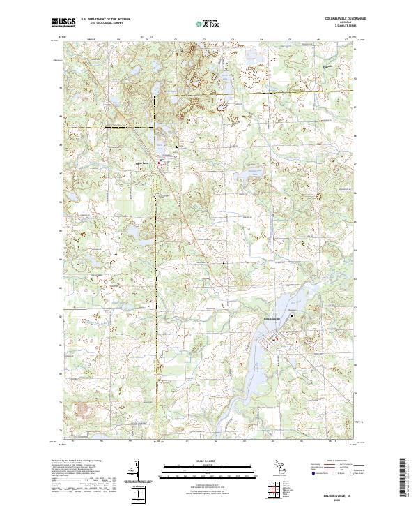
2023 Map of Columbiaville
USGS Topo · Published 2023About this map
Columbiaville and Otter Lake anchor this modern landscape at the intersection of Lapeer, Genesee, and Tuscola counties. The area is defined by a glacial topography of kettle lakes and complex drainage systems, featuring prominent bodies of water like North Lake, Harvey Lake, and Hemmingway Lake. The Flint River winds through the southeastern corner, accompanied by the Flint River Water Trl, reflecting the region's contemporary focus on riparian recreation. Settlement patterns remain clustered around the primary villages, with Fostoria situated at the northern edge.
Find a feature on this map
78 named features on this map. Tap any name to fly to it.
Don’t see what you’re looking for? This feature index may not catch every label — zoom into the map to look around manually.
Map Details
Editions of this 2023 Columbiaville Map
This is the sole edition of this map. No revisions or reprints were ever made.
Other maps of this area

1920 · Flint
USGS Topo · 1:62,500

1922 · Flint
USGS Topo · 1:62,500

1943 · Flint
USGS Topo · 1:62,500

1954 · Flint
USGS Topo · 1:250,000

1958 · Flint
USGS Topo · 1:250,000

1963 · Mayville
USGS Topo · 1:24,000

1963 · Columbiaville
USGS Topo · 1:24,000

1963 · Elba
USGS Topo · 1:24,000

1963 · Vassar
USGS Topo · 1:24,000

1963 · Juniata
USGS Topo · 1:24,000