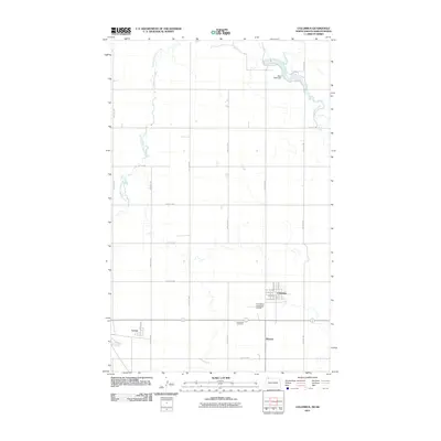
2011 Map of Columbus
USGS Topo · Published 2011About this map
The prairie landscape of Burke County is defined by the wandering paths of West Branch Short Creek and East Branch Short Creek as they converge toward the Canadian border. This 2011 survey shows the small settlements of Columbus and Larson along the southern corridor, connected by a network of section-line roads like 99th Ave NW and County Rd 2. The proximity of Kincaid to the Columbus Cemetery and the Columbus Municipal Airport highlights the concentrated infrastructure of this rural community. Near the northern boundary, the Short Creek Dam regulates the local flow, creating a distinct water feature in an area otherwise dominated by open agricultural blocks and carefully surveyed township grids.
Find a feature on this map
28 named features on this map. Tap any name to fly to it.
Don’t see what you’re looking for? This feature index may not catch every label — zoom into the map to look around manually.
Map Details
Editions of this 2011 Columbus Map
This is the sole edition of this map. No revisions or reprints were ever made.
Other maps of this area

1947 · Columbus
USGS Topo · 1:24,000

1948 · Beaver Lake
USGS Topo · 1:24,000

1948 · Stampede
USGS Topo · 1:24,000

1949 · Columbus SW
USGS Topo · 1:24,000

1949 · Atcoal
USGS Topo · 1:24,000

1949 · Columbus
USGS Topo · 1:24,000

1949 · Columbus SE
USGS Topo · 1:24,000

1950 · Columbus
USGS Topo · 1:62,500

1950 · Portal
USGS Topo · 1:62,500

1953 · Williston
USGS Topo · 1:250,000