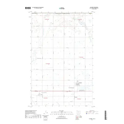
2017 Map of Columbus
USGS Topo · Published 2017About this map
The borderlands of Burke County meet the international boundary with Canada in this northern North Dakota landscape, centered on the small plains community of Columbus. The area is defined by its agricultural grid and the winding course of the West Branch Short Creek, which flows northward across the prairie. For genealogists, the map is remarkably dense with cemetery records, identifying the Saint Olaf Cem near Larson and the Pleasant Prairie Cem to the north.
Find a feature on this map
44 named features on this map. Tap any name to fly to it.
Don’t see what you’re looking for? This feature index may not catch every label — zoom into the map to look around manually.
Map Details
Editions of this 2017 Columbus Map
This is the sole edition of this map. No revisions or reprints were ever made.
Other maps of this area

1947 · Columbus
USGS Topo · 1:24,000

1948 · Beaver Lake
USGS Topo · 1:24,000

1948 · Stampede
USGS Topo · 1:24,000

1949 · Columbus SW
USGS Topo · 1:24,000

1949 · Atcoal
USGS Topo · 1:24,000

1949 · Columbus
USGS Topo · 1:24,000

1949 · Columbus SE
USGS Topo · 1:24,000

1950 · Columbus
USGS Topo · 1:62,500

1950 · Portal
USGS Topo · 1:62,500

1953 · Williston
USGS Topo · 1:250,000