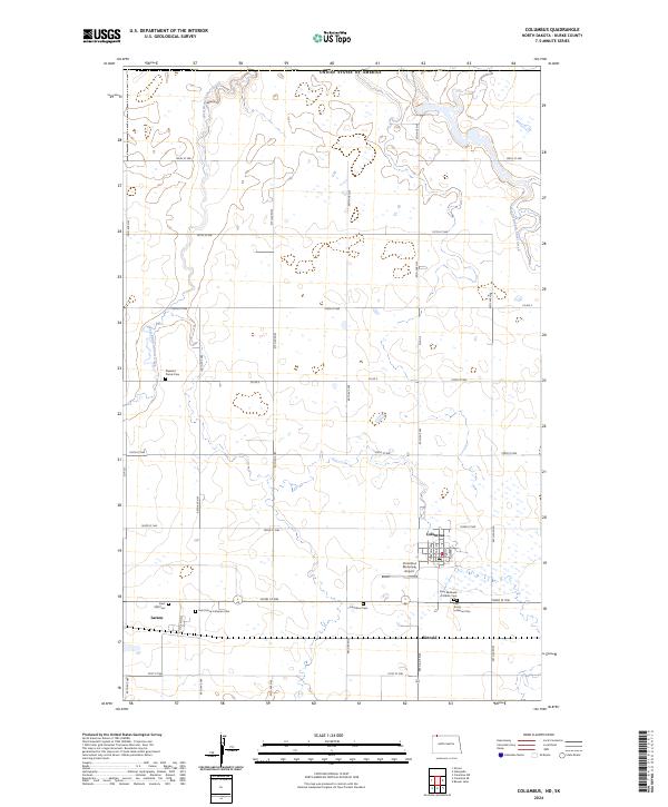
2024 Map of Columbus
USGS Topo · Published 2024About this map
Columbus sits as a central hub in Burke County, where a grid of rural roads and scattered wetlands define the high plains landscape. This 2024 map documents the quiet persistence of small-town North Dakota, featuring the settlements of Larson and Kincaid alongside the Columbus Municipal Airport. The area is notably dense with commemorative sites, including Saint Michaels Catholic Cemetery and First Trinity Lutheran Cemetery, reflecting a deep genealogical record for local families.
Find a feature on this map
44 named features on this map. Tap any name to fly to it.
Don’t see what you’re looking for? This feature index may not catch every label — zoom into the map to look around manually.
Map Details
Editions of this 2024 Columbus Map
This is the sole edition of this map. No revisions or reprints were ever made.
Other maps of this area

1947 · Columbus
USGS Topo · 1:24,000

1948 · Beaver Lake
USGS Topo · 1:24,000

1948 · Stampede
USGS Topo · 1:24,000

1949 · Columbus SW
USGS Topo · 1:24,000

1949 · Atcoal
USGS Topo · 1:24,000

1949 · Columbus
USGS Topo · 1:24,000

1949 · Columbus SE
USGS Topo · 1:24,000

1950 · Columbus
USGS Topo · 1:62,500

1950 · Portal
USGS Topo · 1:62,500

1953 · Williston
USGS Topo · 1:250,000