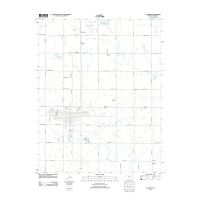
2012 Map of Columbus
USGS Topo · Published 2012About this map
Brush Cr and its tributaries define the rolling landscape of Cherokee County, where the town of Columbus serves as a central hub for the surrounding rural communities. This early 21st-century survey reveals a transition from industrial and municipal land use to quiet residential blocks, anchored by the Cherokee County Fairgrounds and the local Po. The presence of several distinct burial grounds, including Park Cem, Columbus Cem, and the County Poor Farm Cem, provides essential points of reference for genealogists tracking family history in the area.
Find a feature on this map
63 named features on this map. Tap any name to fly to it.
Don’t see what you’re looking for? This feature index may not catch every label — zoom into the map to look around manually.
Map Details
Editions of this 2012 Columbus Map
This is the sole edition of this map. No revisions or reprints were ever made.
Other maps of this area

1886 · Joplin
USGS Topo · 1:125,000

1894 · Joplin
USGS Topo · 1:125,000

1918 · Columbus
USGS Topo · 1:62,500

1943 · Cherokee
USGS Topo · 1:62,500

1945 · Pittsburg
USGS Topo · 1:62,500

1945 · Cherokee
USGS Topo · 1:62,500

1947 · Joplin
USGS Topo · 1:250,000

1947 · Pittsburg
USGS Topo · 1:62,500

1949 · Joplin
USGS Topo · 1:250,000

1950 · Pittsburg
USGS Topo · 1:62,500