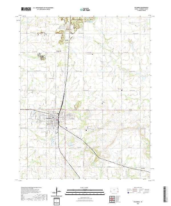
2022 Map of Columbus
USGS Topo · Published 2022About this map
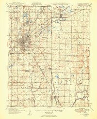
Columbus serves as the central hub of this Kansas landscape, anchored by the Cherokee County Court House and a significant cluster of local burial grounds. The city's grid is well-established, with thoroughfares like W Maple St and E Buckeye St framing the residential and civic core. Surrounding the town, a network of smaller communities such as Stippville, Skidmore, and Turck indicates a pattern of decentralized rural settlement connected by an extensive grid of section-line roads like NW Center Star Rd and NE Belleview Rd.
Find a feature on this map
83 named features on this map. Tap any name to fly to it.
Don’t see what you’re looking for? This feature index may not catch every label — zoom into the map to look around manually.
Map Details
Editions of this 2022 Columbus Map
This is the sole edition of this map. No revisions or reprints were ever made.
Other maps of this area

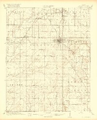
1886 · Joplin
USGS Topo · 1:125,000

1894 · Joplin
USGS Topo · 1:125,000
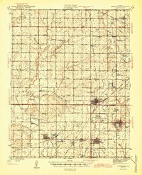
1918 · Columbus
USGS Topo · 1:62,500
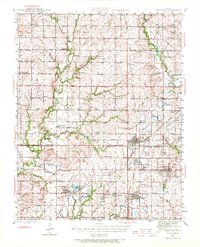
1943 · Cherokee
USGS Topo · 1:62,500

1945 · Pittsburg
USGS Topo · 1:62,500
1945 · Cherokee
USGS Topo · 1:62,500

1947 · Joplin
USGS Topo · 1:250,000

1947 · Pittsburg
USGS Topo · 1:62,500

1949 · Joplin
USGS Topo · 1:250,000
1950 · Pittsburg
USGS Topo · 1:62,500