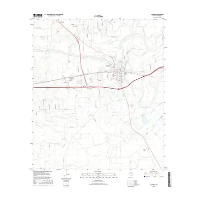
2016 Map of Columbus
USGS Topo · Published 2016About this map
Columbus serves as the focal point of this Colorado County landscape, situated at a major bend of the Colorado River. The town's grid is dense with named streets like Crockett St and Montezuma St, reflecting a well-established settlement pattern that transitions into the neighboring community of Glidden to the west. The river’s influence is pervasive, defining local geography through features such as River Field and numerous tributaries including Cummins Creek and Ratliff Cr.
Find a feature on this map
112 named features on this map. Tap any name to fly to it.
Don’t see what you’re looking for? This feature index may not catch every label — zoom into the map to look around manually.
Map Details
Editions of this 2016 Columbus Map
This is the sole edition of this map. No revisions or reprints were ever made.
Other maps of this area

1919 · Fayettsville
USGS Topo · 1:62,500

1953 · Seguin
USGS Topo · 1:250,000

1956 · Bellville
USGS Topo · 1:62,500

1956 · Glidden
USGS Topo · 1:62,500

1957 · Eagle Lake
USGS Topo · 1:62,500

1957 · Ellinger
USGS Topo · 1:24,000

1957 · Altair
USGS Topo · 1:24,000

1957 · Columbus
USGS Topo · 1:24,000

1957 · Borden
USGS Topo · 1:24,000

1958 · Seguin
USGS Topo · 1:250,000