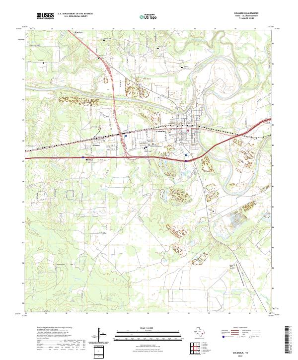
2022 Map of Columbus
USGS Topo · Published 2022About this map
The Colorado River defines the landscape of this Colorado County survey, carving a winding path through the center of Columbus and near the settlement of Glidden. The town of Columbus is anchored by the Colorado County Courthouse, surrounded by a dense grid of residential and commercial streets including Walnut St and Austin St. This area is particularly rich for genealogical research, documenting numerous burial sites such as the Hebrew Benevolence Society Cem, Saint Anthony Catholic Church Cem, and the Odd Fellows Rest Cem. Beyond the urban center, the terrain is shaped by a network of creeks like Cummins Creek and Yupon Cr, with more isolated family landmarks including the Gerhard Miller Cem and Halyard Cem dotting the countryside. To the south, the Robert R Wells Jr Airport and Miller Lake sit amidst the drainage of Wolfpen Cr, illustrating the transition from the town's historic core to more open rural reaches.
Find a feature on this map
114 named features on this map. Tap any name to fly to it.
Don’t see what you’re looking for? This feature index may not catch every label — zoom into the map to look around manually.
Map Details
Editions of this 2022 Columbus Map
This is the sole edition of this map. No revisions or reprints were ever made.
Other maps of this area

1919 · Fayettsville
USGS Topo · 1:62,500

1953 · Seguin
USGS Topo · 1:250,000

1956 · Bellville
USGS Topo · 1:62,500

1956 · Glidden
USGS Topo · 1:62,500

1957 · Eagle Lake
USGS Topo · 1:62,500

1957 · Ellinger
USGS Topo · 1:24,000

1957 · Altair
USGS Topo · 1:24,000

1957 · Columbus
USGS Topo · 1:24,000

1957 · Borden
USGS Topo · 1:24,000

1958 · Seguin
USGS Topo · 1:250,000