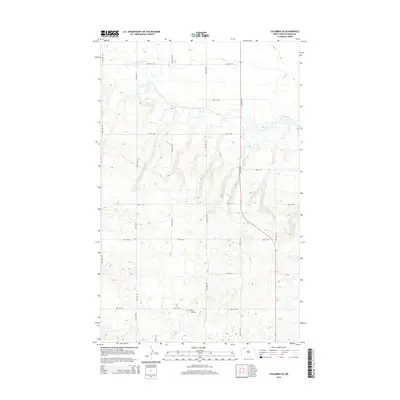
2014 Map of Columbus SE
USGS Topo · Published 2014About this map
Saint Olaf Cem serves as a primary historical anchor in this section of Burke County, situated amidst a landscape defined by an orderly grid of section lines and rural thoroughfares. The terrain is characterized by numerous small depressions and seasonal water bodies typical of the region's prairie pothole geology. This network of gravel and local roads, including 95th Ave NW and CR-10, illustrates the persistence of the Public Land Survey System in shaping North Dakota’s agricultural geography. While many of the section roads like 93rd St NW and 100th St NW provide access to the vast open fields, the presence of the cemetery suggests the location of earlier community centers that once supported the surrounding farmsteads during the peak of the state's homesteading era.
Find a feature on this map
17 named features on this map. Tap any name to fly to it.
Don’t see what you’re looking for? This feature index may not catch every label — zoom into the map to look around manually.
Map Details
Editions of this 2014 Columbus SE Map
This is the sole edition of this map. No revisions or reprints were ever made.
Other maps of this area

1947 · Columbus
USGS Topo · 1:24,000

1948 · Beaver Lake
USGS Topo · 1:24,000

1948 · Stampede
USGS Topo · 1:24,000

1949 · Columbus SW
USGS Topo · 1:24,000

1949 · Atcoal
USGS Topo · 1:24,000

1949 · Columbus
USGS Topo · 1:24,000

1949 · Columbus SE
USGS Topo · 1:24,000

1950 · Columbus
USGS Topo · 1:62,500

1950 · Portal
USGS Topo · 1:62,500

1953 · Williston
USGS Topo · 1:250,000