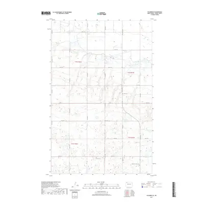
2017 Map of Columbus SE
USGS Topo · Published 2017About this map
Small rural cemeteries and a dense network of sectional roads define this pocket of Burke County, where the landscape is organized by a precise grid of township and range lines. The northern half of the area, within t162n r94w and t162n r93w, contains several localized burial grounds that serve as the primary landmarks for local history and genealogy. These include Fern Cem to the north and Bethany Cem centrally located near Co Rd 6.
Find a feature on this map
24 named features on this map. Tap any name to fly to it.
Don’t see what you’re looking for? This feature index may not catch every label — zoom into the map to look around manually.
Map Details
Editions of this 2017 Columbus SE Map
This is the sole edition of this map. No revisions or reprints were ever made.
Other maps of this area

1947 · Columbus
USGS Topo · 1:24,000

1948 · Beaver Lake
USGS Topo · 1:24,000

1948 · Stampede
USGS Topo · 1:24,000

1949 · Columbus SW
USGS Topo · 1:24,000

1949 · Atcoal
USGS Topo · 1:24,000

1949 · Columbus
USGS Topo · 1:24,000

1949 · Columbus SE
USGS Topo · 1:24,000

1950 · Columbus
USGS Topo · 1:62,500

1950 · Portal
USGS Topo · 1:62,500

1953 · Williston
USGS Topo · 1:250,000