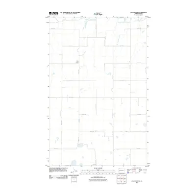
2011 Map of Columbus SW
USGS Topo · Published 2011About this map
Prairie Chapel Cemetery stands as a central landmark in this portion of Divide County, reflecting the early spiritual and communal life of the northern plains. This area of North Dakota is defined by a rigorous grid of section lines, including 100th St NW and 102nd Ave NW, which illustrate the systematic land division that governed settlement patterns. The subtle drainage of West Branch Short Creek winds through the landscape, providing a natural interruption to the geometric agricultural blocks. The map reveals a high-plains environment where infrastructure is sparse but essential, connecting distant farmsteads through a vast network of numbered gravel roads and section trails that have remained largely unchanged for decades.
Find a feature on this map
16 named features on this map. Tap any name to fly to it.
Don’t see what you’re looking for? This feature index may not catch every label — zoom into the map to look around manually.
Map Details
Editions of this 2011 Columbus SW Map
This is the sole edition of this map. No revisions or reprints were ever made.
Other maps of this area

1947 · Noonan
USGS Topo · 1:24,000

1947 · Columbus
USGS Topo · 1:24,000

1949 · Columbus SW
USGS Topo · 1:24,000

1949 · Atcoal
USGS Topo · 1:24,000

1949 · Columbus
USGS Topo · 1:24,000

1949 · Noonan SE
USGS Topo · 1:24,000

1949 · Columbus SE
USGS Topo · 1:24,000

1949 · Noonan
USGS Topo · 1:24,000

1950 · Columbus
USGS Topo · 1:62,500

1950 · Noonan
USGS Topo · 1:62,500