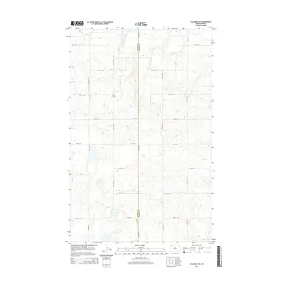
2014 Map of Columbus SW
USGS Topo · Published 2014About this map
Prairie Chapel Cem sits as a lonely landmark in this high plains landscape along the jurisdictional boundary of Divide Co and Burke Co. The terrain is defined by a rhythmic grid of rural section roads, including 102nd Ave NW and 98th St NW, which segment the prairie into vast agricultural tracts. Natural drainage is sparse, primarily represented by the winding path of W Br Short Cr in the northeastern reaches. This 2014 survey reveals a region characterized by modern township organization where original pioneer footprints, such as the local cemetery, remain the primary evidence of early rural community life amidst the expansive fields of northwestern North Dakota.
Find a feature on this map
17 named features on this map. Tap any name to fly to it.
Don’t see what you’re looking for? This feature index may not catch every label — zoom into the map to look around manually.
Map Details
Editions of this 2014 Columbus SW Map
This is the sole edition of this map. No revisions or reprints were ever made.
Other maps of this area

1947 · Noonan
USGS Topo · 1:24,000

1947 · Columbus
USGS Topo · 1:24,000

1949 · Columbus SW
USGS Topo · 1:24,000

1949 · Atcoal
USGS Topo · 1:24,000

1949 · Columbus
USGS Topo · 1:24,000

1949 · Noonan SE
USGS Topo · 1:24,000

1949 · Columbus SE
USGS Topo · 1:24,000

1949 · Noonan
USGS Topo · 1:24,000

1950 · Columbus
USGS Topo · 1:62,500

1950 · Noonan
USGS Topo · 1:62,500