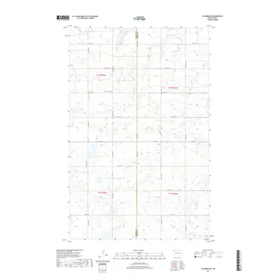
2017 Map of Columbus SW
USGS Topo · Published 2017About this map
Divide Co and Burke Co are separated by a long north-south boundary running through this section of the northern Great Plains. The landscape is characterized by a high concentration of small wetlands and prairie potholes typical of the glaciated plains, with drainage primarily managed by W-Br Short Cr in the northeast corner. Cultural features are relatively sparse, concentrated along a grid of section-line roads like 98th St NW and Co Rd 6. The most significant historical marker for genealogists is the Prairie Chapel Cem, located centrally along 98th St NW. The map illustrates the persistent township and range system with markers for t162n r95w and its neighbors, showing how the land was partitioned for homesteading and agricultural use in the early 21st century.
Find a feature on this map
16 named features on this map. Tap any name to fly to it.
Don’t see what you’re looking for? This feature index may not catch every label — zoom into the map to look around manually.
Map Details
Editions of this 2017 Columbus SW Map
This is the sole edition of this map. No revisions or reprints were ever made.
Other maps of this area

1947 · Noonan
USGS Topo · 1:24,000

1947 · Columbus
USGS Topo · 1:24,000

1949 · Columbus SW
USGS Topo · 1:24,000

1949 · Atcoal
USGS Topo · 1:24,000

1949 · Columbus
USGS Topo · 1:24,000

1949 · Noonan SE
USGS Topo · 1:24,000

1949 · Columbus SE
USGS Topo · 1:24,000

1949 · Noonan
USGS Topo · 1:24,000

1950 · Columbus
USGS Topo · 1:62,500

1950 · Noonan
USGS Topo · 1:62,500