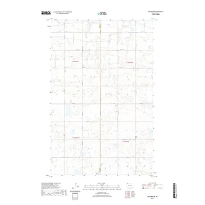
2020 Map of Columbus SW
USGS Topo · Published 2020About this map
The boundary between Divide Co and Burke Co runs vertically through this prairie landscape, marking a transition between the rolling uplands of the Missouri Plateau. A series of small wetlands and ephemeral basins dominate the terrain, particularly in the southern sections, illustrating the glacial pothole geography characteristic of this region. The headwaters of W Br Short Cr emerge in the northeast, while the rest of the landscape is defined by a strictly organized section-line road grid, including 100th St NW and Co Rd 6. For the family historian, the map identifies two significant landmarks: Prairie Chapel Cem and Larson Lutheran Cem, both situated near the township lines of T162N and T161N. These sites point to the early 20th-century settlement patterns of homesteaders who established rural congregations across these remote North Dakota counties.
Find a feature on this map
22 named features on this map. Tap any name to fly to it.
Don’t see what you’re looking for? This feature index may not catch every label — zoom into the map to look around manually.
Map Details
Editions of this 2020 Columbus SW Map
This is the sole edition of this map. No revisions or reprints were ever made.
Other maps of this area

1947 · Noonan
USGS Topo · 1:24,000

1947 · Columbus
USGS Topo · 1:24,000

1949 · Columbus SW
USGS Topo · 1:24,000

1949 · Atcoal
USGS Topo · 1:24,000

1949 · Columbus
USGS Topo · 1:24,000

1949 · Noonan SE
USGS Topo · 1:24,000

1949 · Columbus SE
USGS Topo · 1:24,000

1949 · Noonan
USGS Topo · 1:24,000

1950 · Columbus
USGS Topo · 1:62,500

1950 · Noonan
USGS Topo · 1:62,500